
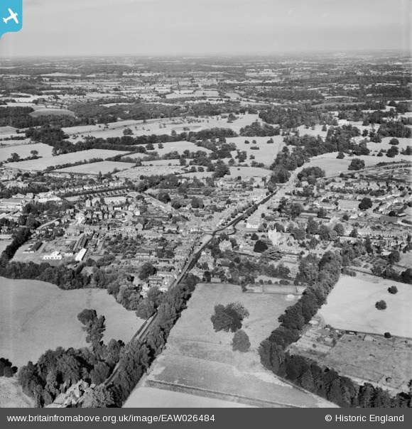
EAW026484 ENGLAND (1949). The town, Beaconsfield, from the south-west, 1949
© Hawlfraint cyfranwyr OpenStreetMap a thrwyddedwyd gan yr OpenStreetMap Foundation. 2026. Trwyddedir y gartograffeg fel CC BY-SA.
Delweddau cyfagos (4)
EAW026484

EAW026485

EPW052757

EPW054667

Manylion
| Pennawd | [EAW026484] The town, Beaconsfield, from the south-west, 1949 |
| Cyfeirnod | EAW026484 |
| Dyddiad | 10-September-1949 |
| Dolen | |
| Enw lle | BEACONSFIELD |
| Plwyf | BEACONSFIELD |
| Ardal | |
| Gwlad | ENGLAND |
| Dwyreiniad / Gogleddiad | 494283, 189989 |
| Hydred / Lledred | -0.63855259361734, 51.600369403805 |
| Cyfeirnod Grid Cenedlaethol | SU943900 |
Pinnau

bondi |
Wednesday 20th of April 2016 01:51:21 PM | |
|
bondi |
Wednesday 20th of April 2016 01:51:16 PM | |
|
moses72 |
Tuesday 11th of March 2014 03:51:34 PM | |
|
moses72 |
Tuesday 11th of March 2014 03:49:14 PM | |
|
moses72 |
Tuesday 11th of March 2014 03:47:57 PM | |
|
moses72 |
Tuesday 11th of March 2014 03:47:12 PM | |
|
moses72 |
Tuesday 11th of March 2014 03:46:09 PM |