
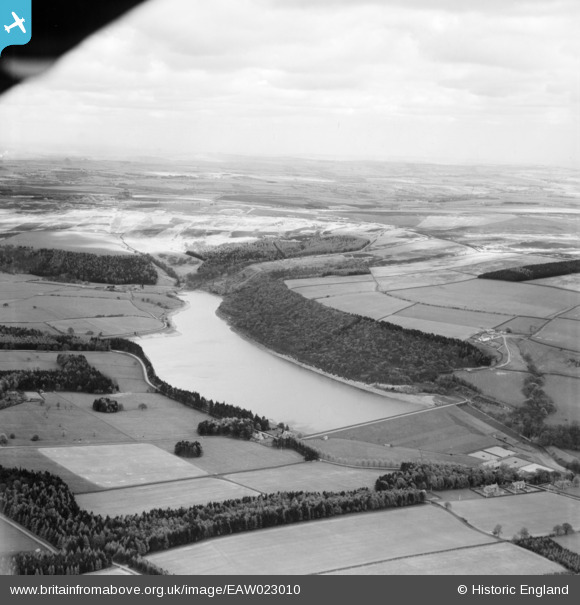
EAW023010 ENGLAND (1949). Tunstall Reservoir, Wolsingham, from the south-west, 1949
© Hawlfraint cyfranwyr OpenStreetMap a thrwyddedwyd gan yr OpenStreetMap Foundation. 2026. Trwyddedir y gartograffeg fel CC BY-SA.
Delweddau cyfagos (3)
EAW023010

EAW023011

EAW023012

Manylion
| Pennawd | [EAW023010] Tunstall Reservoir, Wolsingham, from the south-west, 1949 |
| Cyfeirnod | EAW023010 |
| Dyddiad | 9-May-1949 |
| Dolen | |
| Enw lle | WOLSINGHAM |
| Plwyf | WOLSINGHAM |
| Ardal | |
| Gwlad | ENGLAND |
| Dwyreiniad / Gogleddiad | 406380, 540882 |
| Hydred / Lledred | -1.9008381001689, 54.762731658598 |
| Cyfeirnod Grid Cenedlaethol | NZ064409 |
Pinnau
Byddwch y cyntaf i ychwanegu sylw at y ddelwedd hon!