
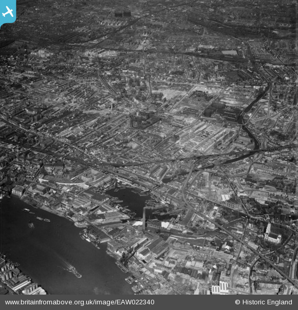
EAW022340 ENGLAND (1949). Regent's Canal Dock and the Metropolitan Borough of Stepney, Limehouse, from the south-east, 1949
© Hawlfraint cyfranwyr OpenStreetMap a thrwyddedwyd gan yr OpenStreetMap Foundation. 2026. Trwyddedir y gartograffeg fel CC BY-SA.
Delweddau cyfagos (14)
EAW022340

EPW026873

EPW021383

EPW026875

EPW026874

EPW026871

EPW021381

EPW021385

EPW021384

EPW021386

EPW021380

EAW022341

EAW000640

EPW026872

Manylion
| Pennawd | [EAW022340] Regent's Canal Dock and the Metropolitan Borough of Stepney, Limehouse, from the south-east, 1949 |
| Cyfeirnod | EAW022340 |
| Dyddiad | 19-April-1949 |
| Dolen | |
| Enw lle | LIMEHOUSE |
| Plwyf | |
| Ardal | |
| Gwlad | ENGLAND |
| Dwyreiniad / Gogleddiad | 536349, 181056 |
| Hydred / Lledred | -0.034909063208283, 51.511474251345 |
| Cyfeirnod Grid Cenedlaethol | TQ363811 |
Pinnau

andy |
Tuesday 1st of September 2020 10:30:44 AM | |
|
Post-war prefabs |
Saturday 9th of November 2019 05:05:30 PM | |
|
Stu Giles |
Monday 21st of May 2018 08:19:03 PM | |
|
Hermann the German |
Sunday 24th of September 2017 07:12:59 PM | |
|
Ian |
Monday 5th of January 2015 09:25:42 PM | |
|
twc |
Monday 3rd of November 2014 04:08:39 PM | |

Class31 |
Monday 6th of October 2014 11:09:41 AM | |
|
Class31 |
Monday 6th of October 2014 11:06:20 AM | |
|
Class31 |
Monday 6th of October 2014 11:05:23 AM | |
|
Class31 |
Monday 6th of October 2014 11:04:29 AM | |
|
Class31 |
Monday 6th of October 2014 11:03:44 AM | |
|
Class31 |
Monday 6th of October 2014 11:02:46 AM | |
|
Class31 |
Monday 6th of October 2014 11:01:28 AM | |
|
twc |
Tuesday 30th of September 2014 09:07:50 AM | |
|
twc |
Saturday 20th of September 2014 08:12:22 PM | |
|
twc |
Saturday 20th of September 2014 08:09:41 PM | |
|
Bill11UK |
Saturday 5th of April 2014 05:08:46 PM | |
|
Chelsea61 |
Wednesday 26th of March 2014 06:52:09 PM | |
 |
Grollo |
Monday 10th of March 2014 05:57:35 PM |
 |
Grollo |
Monday 10th of March 2014 05:43:58 PM |
|
Grollo |
Monday 10th of March 2014 09:03:48 AM | |
|
Grollo |
Sunday 9th of March 2014 08:21:31 AM | |
|
Grollo |
Sunday 9th of March 2014 08:14:32 AM | |
|
Grollo |
Sunday 9th of March 2014 08:12:52 AM | |
|
Grollo |
Sunday 9th of March 2014 08:12:09 AM | |
|
Grollo |
Sunday 9th of March 2014 08:10:40 AM | |
|
Grollo |
Sunday 9th of March 2014 08:06:27 AM | |
|
Grollo |
Sunday 9th of March 2014 08:00:10 AM | |
|
S00Z |
Wednesday 29th of January 2014 12:03:47 AM | |
|
S00Z |
Wednesday 29th of January 2014 12:02:02 AM | |
|
S00Z |
Tuesday 28th of January 2014 11:56:16 PM | |
|
S00Z |
Tuesday 28th of January 2014 11:55:29 PM | |
|
S00Z |
Tuesday 28th of January 2014 11:41:39 PM | |
|
S00Z |
Tuesday 28th of January 2014 11:34:03 PM | |
|
Ian |
Saturday 18th of January 2014 10:10:04 PM | |
|
Ian |
Saturday 18th of January 2014 10:09:27 PM | |
|
Ian |
Saturday 18th of January 2014 10:07:53 PM | |
|
Ian |
Saturday 18th of January 2014 10:06:47 PM | |
|
Ian |
Saturday 18th of January 2014 10:05:51 PM |


Cyfraniadau Grŵp

St. Anne's Church, Limehouse, 30/09/2014 |
Class31 |
Monday 6th of October 2014 11:07:22 AM |
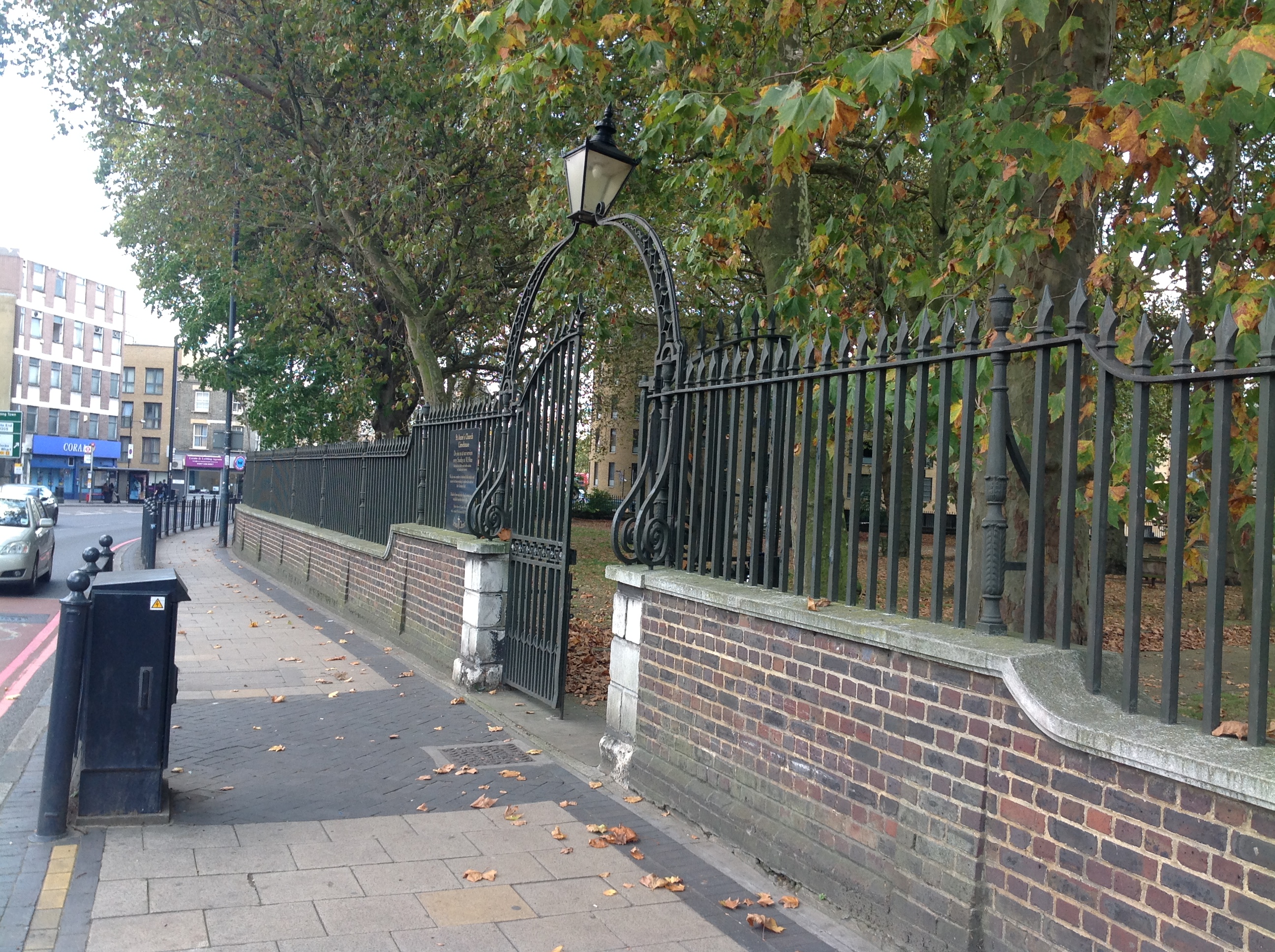
St. Anne's Church, Limehouse, Commercial Road, 30/09/2014 |
Class31 |
Monday 6th of October 2014 11:06:53 AM |

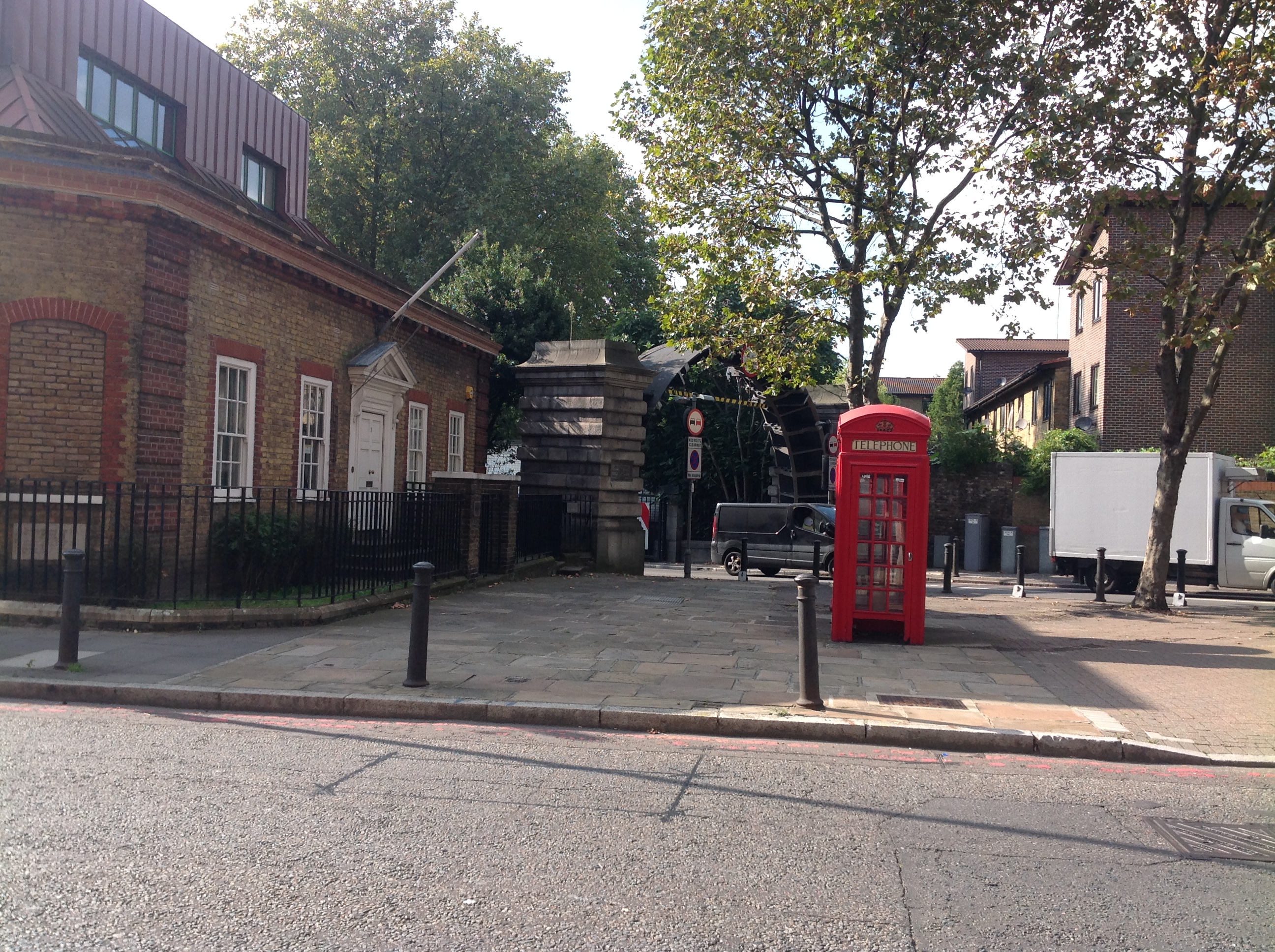
Limehouse Basin, 30/09/2014 |
Class31 |
Monday 6th of October 2014 11:00:26 AM |

Towards Limehouse Basin, 30/09/2014 |
Class31 |
Monday 6th of October 2014 10:59:49 AM |
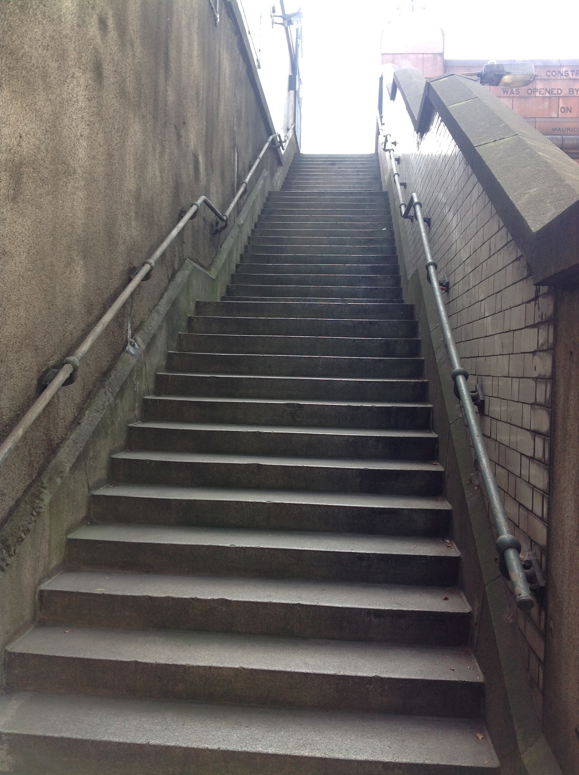
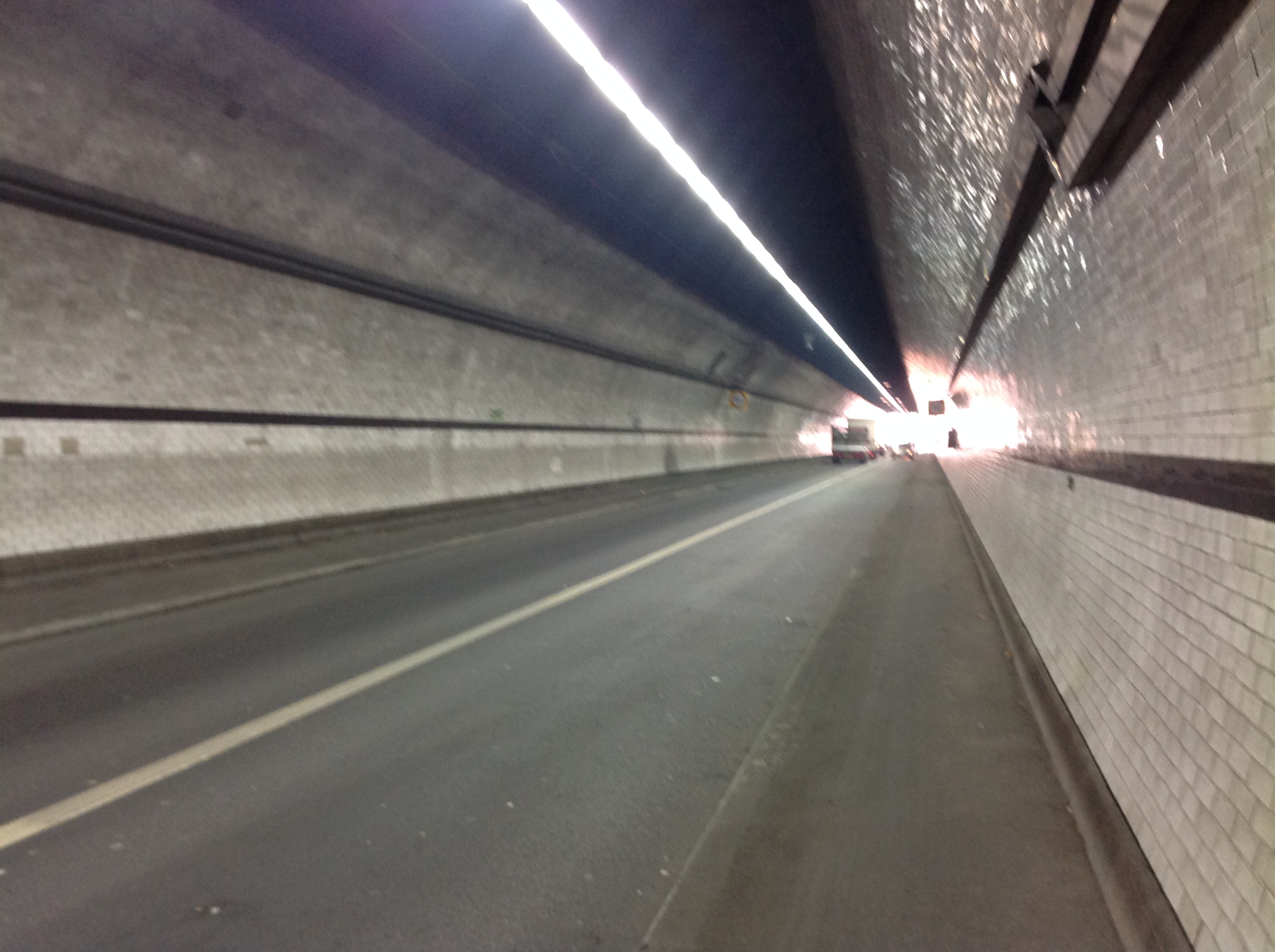
Rotherhithe Tunnel, 30/09/2014 |
Class31 |
Monday 6th of October 2014 10:58:11 AM |
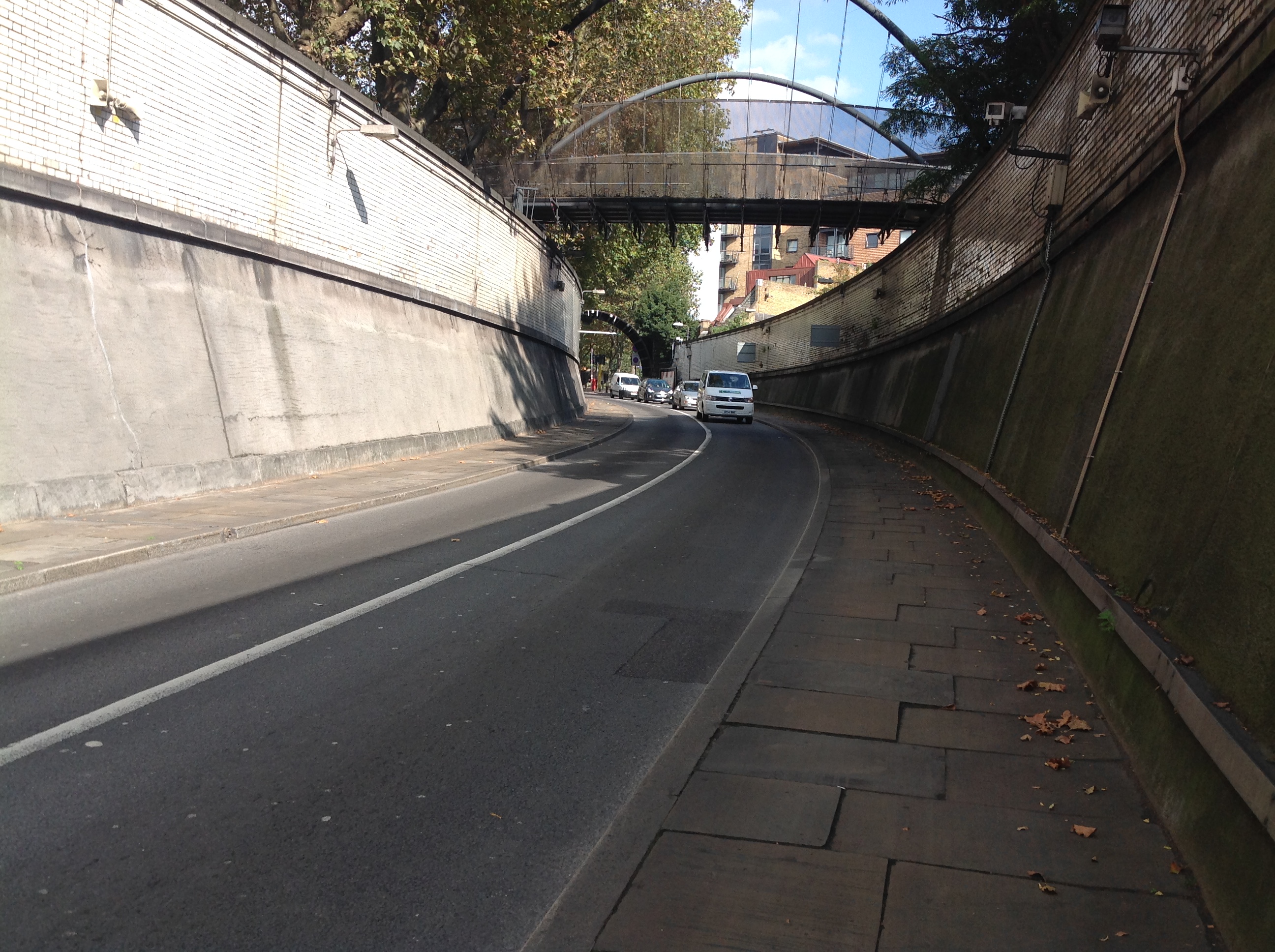
Rotherhithe Tunnel, 30/09/2014 |
Class31 |
Monday 6th of October 2014 10:57:38 AM |

Rotherhithe Tunnel, 30/09/2014 |
Class31 |
Monday 6th of October 2014 10:57:13 AM |

Rotherhithe Tunnel, 30/09/2014 |
Class31 |
Monday 6th of October 2014 10:56:31 AM |
Rotherhithe Tunnel, 30/09/2014 |
Class31 |
Monday 6th of October 2014 10:55:56 AM |

Rotherhithe Tunnel, 30/09/2014 |
Class31 |
Monday 6th of October 2014 10:55:29 AM |
Rotherhithe Tunnel, 30/09/2014 |
Class31 |
Monday 6th of October 2014 10:54:54 AM |