
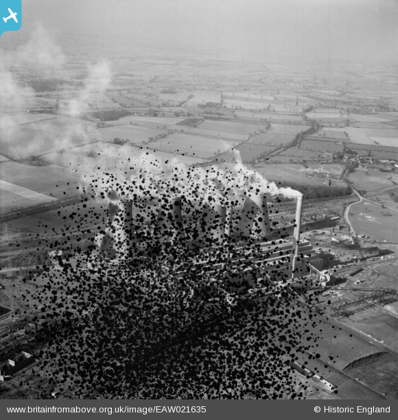
EAW021635 ENGLAND (1949). Hams Hall Power Station B, Lea Marston, from the south-east, 1949. This image has been produced from a damaged negative.
© Hawlfraint cyfranwyr OpenStreetMap a thrwyddedwyd gan yr OpenStreetMap Foundation. 2026. Trwyddedir y gartograffeg fel CC BY-SA.
Delweddau cyfagos (5)
EAW021635

EAW021637

EPW023693

EAW021636

EAW021638

Manylion
| Pennawd | [EAW021635] Hams Hall Power Station B, Lea Marston, from the south-east, 1949. This image has been produced from a damaged negative. |
| Cyfeirnod | EAW021635 |
| Dyddiad | 25-March-1949 |
| Dolen | |
| Enw lle | LEA MARSTON |
| Plwyf | LEA MARSTON |
| Ardal | |
| Gwlad | ENGLAND |
| Dwyreiniad / Gogleddiad | 420016, 292308 |
| Hydred / Lledred | -1.7049244189967, 52.527911642565 |
| Cyfeirnod Grid Cenedlaethol | SP200923 |
Pinnau
Byddwch y cyntaf i ychwanegu sylw at y ddelwedd hon!