
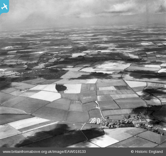
EAW018133 ENGLAND (1948). The village, poultry farming by Fern's Plantation and surrounding countryside, Pimperne, from the south-west, 1948. This image has been produced from a print.
© Hawlfraint cyfranwyr OpenStreetMap a thrwyddedwyd gan yr OpenStreetMap Foundation. 2025. Trwyddedir y gartograffeg fel CC BY-SA.
Delweddau cyfagos (2)
EAW018133

EAW018132

Manylion
| Pennawd | [EAW018133] The village, poultry farming by Fern's Plantation and surrounding countryside, Pimperne, from the south-west, 1948. This image has been produced from a print. |
| Cyfeirnod | EAW018133 |
| Dyddiad | 16-August-1948 |
| Dolen | |
| Enw lle | PIMPERNE |
| Plwyf | PIMPERNE |
| Ardal | |
| Gwlad | ENGLAND |
| Dwyreiniad / Gogleddiad | 390734, 109942 |
| Hydred / Lledred | -2.1317481911883, 50.888335617782 |
| Cyfeirnod Grid Cenedlaethol | ST907099 |
Pinnau
Byddwch y cyntaf i ychwanegu sylw at y ddelwedd hon!