
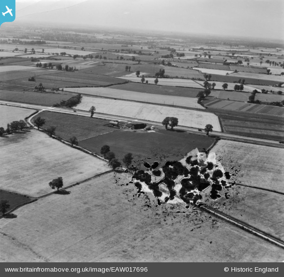
EAW017696 ENGLAND (1948). Countryside around Little Domsey, Feering, from the east, 1948. This image has been produced from a damaged print.
© Hawlfraint cyfranwyr OpenStreetMap a thrwyddedwyd gan yr OpenStreetMap Foundation. 2026. Trwyddedir y gartograffeg fel CC BY-SA.
Delweddau cyfagos (2)
EAW017696

EAW017697

Manylion
| Pennawd | [EAW017696] Countryside around Little Domsey, Feering, from the east, 1948. This image has been produced from a damaged print. |
| Cyfeirnod | EAW017696 |
| Dyddiad | 26-July-1948 |
| Dolen | |
| Enw lle | FEERING |
| Plwyf | FEERING |
| Ardal | |
| Gwlad | ENGLAND |
| Dwyreiniad / Gogleddiad | 589211, 221190 |
| Hydred / Lledred | 0.74789809072554, 51.856729601922 |
| Cyfeirnod Grid Cenedlaethol | TL892212 |
Pinnau
Byddwch y cyntaf i ychwanegu sylw at y ddelwedd hon!