
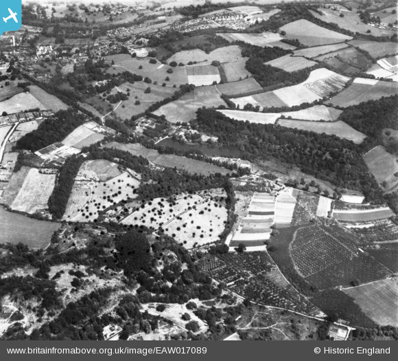
EAW017089 ENGLAND (1948). Eastwater House, East Waters and the surrounding countryside, Bramley, 1948. This image has been produced from a damaged print.
© Hawlfraint cyfranwyr OpenStreetMap a thrwyddedwyd gan yr OpenStreetMap Foundation. 2026. Trwyddedir y gartograffeg fel CC BY-SA.
Delweddau cyfagos (2)
EAW017089

EAW017088

Manylion
| Pennawd | [EAW017089] Eastwater House, East Waters and the surrounding countryside, Bramley, 1948. This image has been produced from a damaged print. |
| Cyfeirnod | EAW017089 |
| Dyddiad | 6-July-1948 |
| Dolen | |
| Enw lle | BRAMLEY |
| Plwyf | BRAMLEY |
| Ardal | |
| Gwlad | ENGLAND |
| Dwyreiniad / Gogleddiad | 499940, 143922 |
| Hydred / Lledred | -0.56986558934883, 51.185258694453 |
| Cyfeirnod Grid Cenedlaethol | SU999439 |
Pinnau
Byddwch y cyntaf i ychwanegu sylw at y ddelwedd hon!