
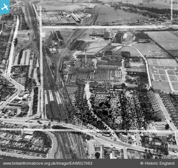
EAW017063 ENGLAND (1948). Southall Railway Station, the Batchelor's Peas Ltd Factory and environs, Southall, 1948. This image has been produced from a damaged negative.
© Hawlfraint cyfranwyr OpenStreetMap a thrwyddedwyd gan yr OpenStreetMap Foundation. 2026. Trwyddedir y gartograffeg fel CC BY-SA.
Delweddau cyfagos (15)
EAW017063

EAW017062

EAW017057

EAW017065

EAW017066

EAW017061

EAW017056

EAW017060

EAW017064

EPW032162

EAW017059

EPW032163

EPW032160

EAW017067

EAW017058

Manylion
| Pennawd | [EAW017063] Southall Railway Station, the Batchelor's Peas Ltd Factory and environs, Southall, 1948. This image has been produced from a damaged negative. |
| Cyfeirnod | EAW017063 |
| Dyddiad | 6-July-1948 |
| Dolen | |
| Enw lle | SOUTHALL |
| Plwyf | |
| Ardal | |
| Gwlad | ENGLAND |
| Dwyreiniad / Gogleddiad | 512857, 179748 |
| Hydred / Lledred | -0.37373751369975, 51.504899033955 |
| Cyfeirnod Grid Cenedlaethol | TQ129797 |
Pinnau

Matt Aldred edob.mattaldred.com |
Sunday 2nd of March 2025 09:38:22 PM | |

gBr |
Saturday 6th of May 2023 09:51:50 AM | |
|
Bdog507 |
Monday 26th of February 2018 05:48:54 PM | |
|
southallboy |
Thursday 14th of August 2014 08:50:39 AM | |
|
southallboy |
Tuesday 22nd of April 2014 01:52:41 PM |