
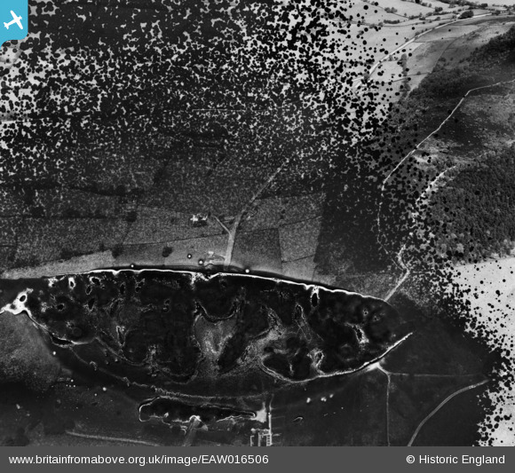
EAW016506 ENGLAND (1948). Tunstall Road (site of) and the area around Cloud Side and Cloud Plantation, Timbersbrook, 1948. This image has been produced from a damaged negative.
© Hawlfraint cyfranwyr OpenStreetMap a thrwyddedwyd gan yr OpenStreetMap Foundation. 2026. Trwyddedir y gartograffeg fel CC BY-SA.
Delweddau cyfagos (3)
EAW016506
 and the area around Cloud Side and Cloud Plantation, Timbersbrook, 1948. This image has been produced from a damaged negative.")
EAW016507

EAW016505

Manylion
| Pennawd | [EAW016506] Tunstall Road (site of) and the area around Cloud Side and Cloud Plantation, Timbersbrook, 1948. This image has been produced from a damaged negative. |
| Cyfeirnod | EAW016506 |
| Dyddiad | 11-June-1948 |
| Dolen | |
| Enw lle | TIMBERSBROOK |
| Plwyf | CONGLETON |
| Ardal | |
| Gwlad | ENGLAND |
| Dwyreiniad / Gogleddiad | 389780, 363354 |
| Hydred / Lledred | -2.1528914630709, 53.166916738743 |
| Cyfeirnod Grid Cenedlaethol | SJ898634 |
Pinnau
Byddwch y cyntaf i ychwanegu sylw at y ddelwedd hon!