
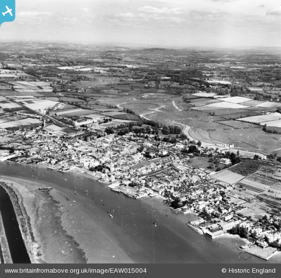
EAW015004 ENGLAND (1948). The town, Topsham, from the south-west, 1948. This image has been produced from a print.
© Hawlfraint cyfranwyr OpenStreetMap a thrwyddedwyd gan yr OpenStreetMap Foundation. 2026. Trwyddedir y gartograffeg fel CC BY-SA.
Delweddau cyfagos (3)
EAW015004

EAW051146

EPW033427

Manylion
| Pennawd | [EAW015004] The town, Topsham, from the south-west, 1948. This image has been produced from a print. |
| Cyfeirnod | EAW015004 |
| Dyddiad | 27-April-1948 |
| Dolen | |
| Enw lle | TOPSHAM |
| Plwyf | |
| Ardal | |
| Gwlad | ENGLAND |
| Dwyreiniad / Gogleddiad | 296613, 87756 |
| Hydred / Lledred | -3.4635064653424, 50.679689955537 |
| Cyfeirnod Grid Cenedlaethol | SX966878 |
Pinnau
Cyfraniadau Grŵp
Exe estuary |

MB |
Wednesday 7th of September 2016 08:37:50 PM |