
EAW014538 ENGLAND (1948). The area surrounding Morpeth Castle, Morpeth, 1948. This image has been produced from a damaged negative.

© Hawlfraint cyfranwyr OpenStreetMap a thrwyddedwyd gan yr OpenStreetMap Foundation. 2026. Trwyddedir y gartograffeg fel CC BY-SA.
Delweddau cyfagos (4)
EAW014538

EAW014539

EAW014541

EAW014540

Manylion
| Pennawd | [EAW014538] The area surrounding Morpeth Castle, Morpeth, 1948. This image has been produced from a damaged negative. |
| Cyfeirnod | EAW014538 |
| Dyddiad | 15-April-1948 |
| Dolen | |
| Enw lle | MORPETH |
| Plwyf | MORPETH |
| Ardal | |
| Gwlad | ENGLAND |
| Dwyreiniad / Gogleddiad | 419923, 585576 |
| Hydred / Lledred | -1.687241974362, 55.164048271352 |
| Cyfeirnod Grid Cenedlaethol | NZ199856 |
Pinnau

Cyfraniadau Grŵp
Even on a seriously damaged image such as this one there is much of interest. The East Coast Main Line railway can be seen on the northern approach to Morpeth Station. I happened to take two of my very few photographs from the 1970's in the area which is covered which makes this particularly interesting to me. |

Class31 |
Monday 12th of October 2015 08:35:42 AM |
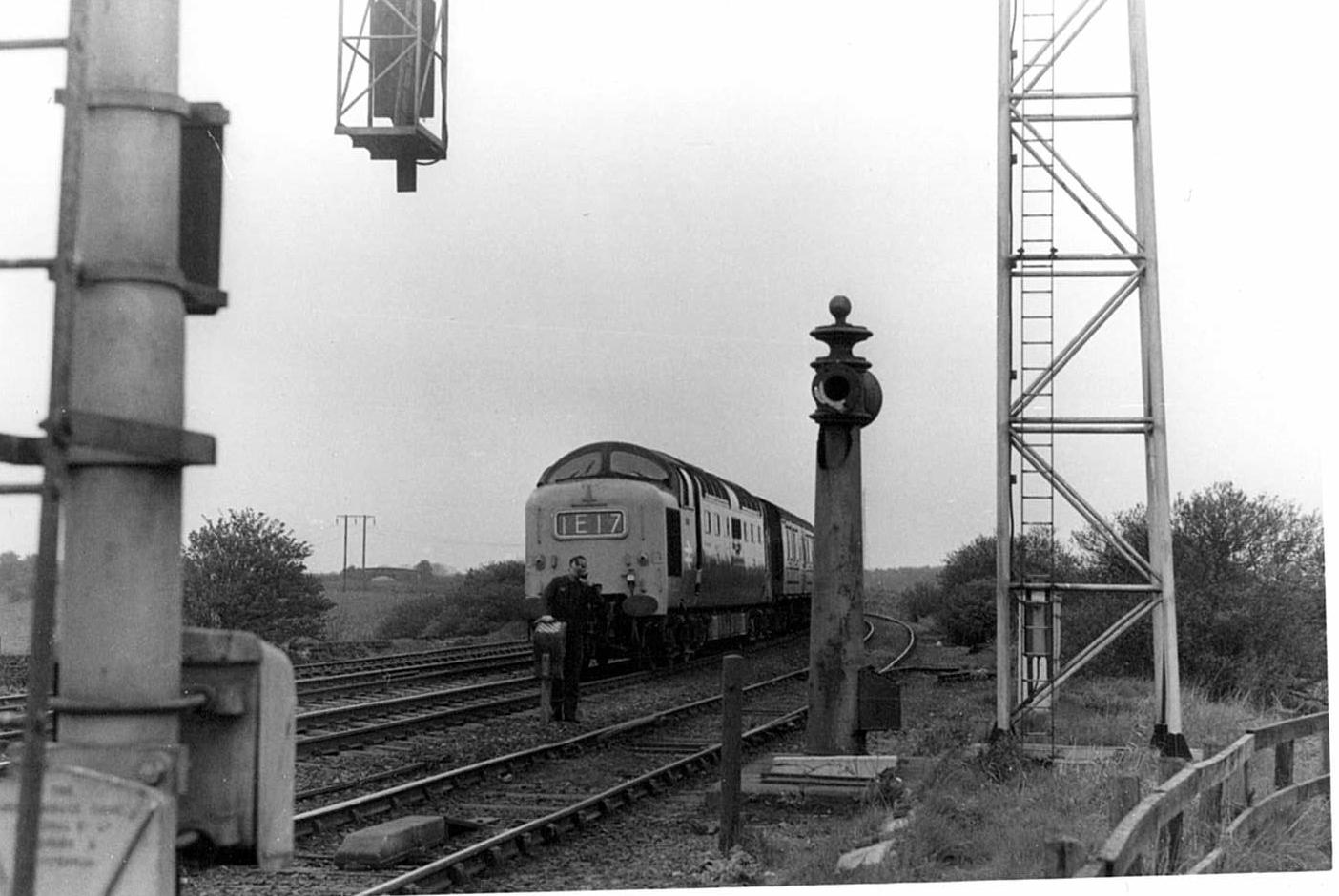
The driver of a deltic gets down to speak on the trackside telephone at Coopie's Lane, Morpeth, 1974 |
Class31 |
Monday 12th of October 2015 08:27:36 AM |