
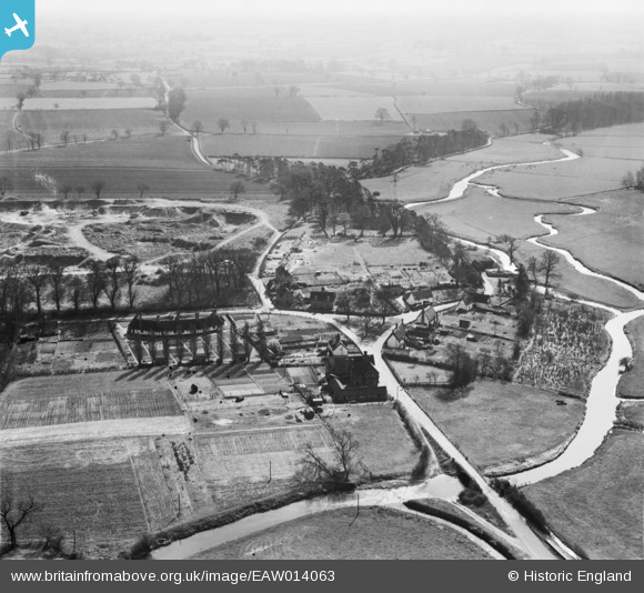
EAW014063 ENGLAND (1948). The village and the surrounding countryside, Homersfield, from the north-west, 1948
© Hawlfraint cyfranwyr OpenStreetMap a thrwyddedwyd gan yr OpenStreetMap Foundation. 2026. Trwyddedir y gartograffeg fel CC BY-SA.
Delweddau cyfagos (4)
EAW014063

EAW014064

EAW014066

EAW014065

Manylion
| Pennawd | [EAW014063] The village and the surrounding countryside, Homersfield, from the north-west, 1948 |
| Cyfeirnod | EAW014063 |
| Dyddiad | 25-March-1948 |
| Dolen | |
| Enw lle | HOMERSFIELD |
| Plwyf | ST. MARY, SOUTH ELMHAM OTHERWISE HOMERSFIELD |
| Ardal | |
| Gwlad | ENGLAND |
| Dwyreiniad / Gogleddiad | 628407, 285659 |
| Hydred / Lledred | 1.3594925281008, 52.42076038544 |
| Cyfeirnod Grid Cenedlaethol | TM284857 |
Pinnau

Matt Aldred edob.mattaldred.com |
Saturday 14th of November 2020 08:14:29 PM | |

cptpies |
Tuesday 20th of January 2015 11:17:52 AM | |
placemark is almost certainly off then nearer 52°25'18.47"N 1°21'25.18"E |
Al |
Sunday 1st of February 2015 12:42:57 AM |
|
cptpies |
Tuesday 20th of January 2015 11:17:12 AM |
Cyfraniadau Grŵp

Previously unrecorded Anti Tank Blocks, Homersfield. |
cptpies |
Tuesday 20th of January 2015 11:21:36 AM |