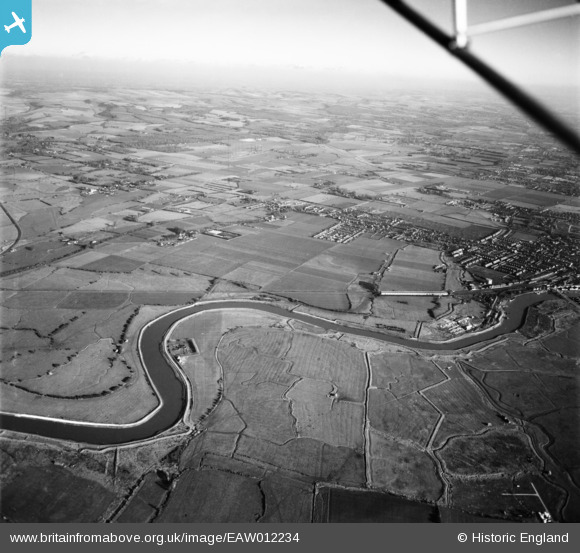
EAW012234 ENGLAND (1947). The River Arun and environs, Climping, from the south-west, 1947
© Hawlfraint cyfranwyr OpenStreetMap a thrwyddedwyd gan yr OpenStreetMap Foundation. 2026. Trwyddedir y gartograffeg fel CC BY-SA.
Delweddau cyfagos (2)
EAW012234

 0°
0m
0°
0m
EAW012235
 311°
268m
311°
268m
Manylion
| Pennawd | [EAW012234] The River Arun and environs, Climping, from the south-west, 1947 |
| Cyfeirnod | EAW012234 |
| Dyddiad | 24-November-1947 |
| Dolen | |
| Enw lle | CLIMPING |
| Plwyf | CLIMPING |
| Ardal | |
| Gwlad | ENGLAND |
| Dwyreiniad / Gogleddiad | 501214, 102775 |
| Hydred / Lledred | -0.56311508580191, 50.815105526475 |
| Cyfeirnod Grid Cenedlaethol | TQ012028 |
 WW2 Anti Tank Ditch