
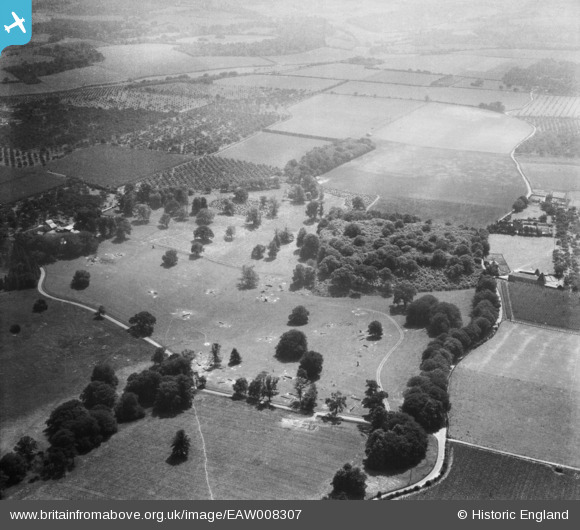
EAW008307 ENGLAND (1947). Parkland at Home Farm, Woodstock, 1947
© Hawlfraint cyfranwyr OpenStreetMap a thrwyddedwyd gan yr OpenStreetMap Foundation. 2026. Trwyddedir y gartograffeg fel CC BY-SA.
Delweddau cyfagos (9)
EAW008307

EAW008302

EAW008304

EAW008295

EAW008310

EAW008298

EAW008297

EAW008308

EAW008300

Manylion
| Pennawd | [EAW008307] Parkland at Home Farm, Woodstock, 1947 |
| Cyfeirnod | EAW008307 |
| Dyddiad | 15-July-1947 |
| Dolen | |
| Enw lle | WOODSTOCK |
| Plwyf | TUNSTALL |
| Ardal | |
| Gwlad | ENGLAND |
| Dwyreiniad / Gogleddiad | 589839, 160797 |
| Hydred / Lledred | 0.72434591132335, 51.314061528583 |
| Cyfeirnod Grid Cenedlaethol | TQ898608 |
Pinnau

Cyfraniadau Grŵp
Thanks everyone for looking at these! We'll update the catalogue and post the new data here in due course. Yours, Katy Britain from Above Cataloguing Team Leader |
Katy Whitaker |
Tuesday 7th of January 2014 01:14:20 PM |
Well done Class31, I just found this too, tricky one as the park is right on the corner of four maps and I didn't recognise the shape till now |

TomRobin |
Friday 8th of November 2013 08:48:20 PM |
In the set EAW008294, EAW008296 - EAW008308, EAW008310 - EAW008311, EAW008313. All taken in same area with oast houses and orchards. Kent? |
Rebecca |
Monday 4th of November 2013 02:03:11 PM |