
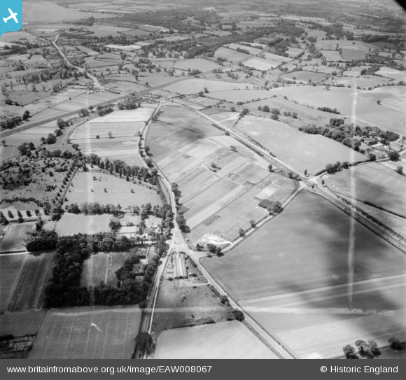
EAW008067 ENGLAND (1947). Ipswich Road and environs, Martlesham, 1947. This image was marked by Aerofilms Ltd for photo editing.
© Hawlfraint cyfranwyr OpenStreetMap a thrwyddedwyd gan yr OpenStreetMap Foundation. 2026. Trwyddedir y gartograffeg fel CC BY-SA.
Delweddau cyfagos (4)
EAW008067

EAW008066

EAW008069

EAW008068

Manylion
| Pennawd | [EAW008067] Ipswich Road and environs, Martlesham, 1947. This image was marked by Aerofilms Ltd for photo editing. |
| Cyfeirnod | EAW008067 |
| Dyddiad | 12-July-1947 |
| Dolen | |
| Enw lle | MARTLESHAM |
| Plwyf | MARTLESHAM |
| Ardal | |
| Gwlad | ENGLAND |
| Dwyreiniad / Gogleddiad | 625685, 248146 |
| Hydred / Lledred | 1.2944604409779, 52.085159800807 |
| Cyfeirnod Grid Cenedlaethol | TM257481 |
Pinnau

Matt Aldred edob.mattaldred.com |
Thursday 11th of March 2021 05:46:42 PM | |
|
Matt Aldred edob.mattaldred.com |
Thursday 11th of March 2021 05:45:51 PM | |

Sparky |
Monday 2nd of October 2017 09:39:39 PM | |

Pilot |
Monday 9th of December 2013 12:30:29 PM | |
|
Pilot |
Tuesday 19th of November 2013 01:06:18 PM | |
|
Pilot |
Tuesday 19th of November 2013 01:05:25 PM | |
|
Pilot |
Tuesday 19th of November 2013 01:03:27 PM |