
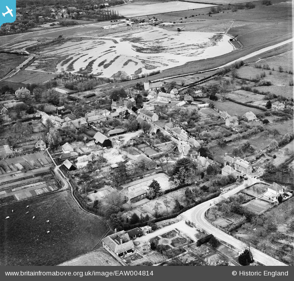
EAW004814 ENGLAND (1947). The town, Fordwich, 1947
© Hawlfraint cyfranwyr OpenStreetMap a thrwyddedwyd gan yr OpenStreetMap Foundation. 2026. Trwyddedir y gartograffeg fel CC BY-SA.
Delweddau cyfagos (5)
EAW004814

EAW004815

EAW004818

EAW004816

EAW004817

Manylion
| Pennawd | [EAW004814] The town, Fordwich, 1947 |
| Cyfeirnod | EAW004814 |
| Dyddiad | 25-April-1947 |
| Dolen | |
| Enw lle | FORDWICH |
| Plwyf | FORDWICH |
| Ardal | |
| Gwlad | ENGLAND |
| Dwyreiniad / Gogleddiad | 618032, 159685 |
| Hydred / Lledred | 1.1276538697912, 51.29397364881 |
| Cyfeirnod Grid Cenedlaethol | TR180597 |
Pinnau

Matt Aldred edob.mattaldred.com |
Saturday 1st of March 2025 10:51:40 PM | |

Al |
Thursday 9th of January 2014 10:23:46 AM | |
|
totoro |
Wednesday 11th of December 2013 11:00:44 PM | |
|
totoro |
Wednesday 11th of December 2013 11:00:19 PM | |
|
totoro |
Wednesday 11th of December 2013 10:54:28 PM |
Cyfraniadau Grŵp

vertical rail sockets visible in road surface |
Al |
Thursday 9th of January 2014 10:24:18 AM |