
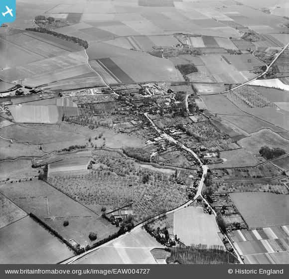
EAW004727 ENGLAND (1947). The village and the surrounding countryside, Wingham, 1947
© Hawlfraint cyfranwyr OpenStreetMap a thrwyddedwyd gan yr OpenStreetMap Foundation. 2026. Trwyddedir y gartograffeg fel CC BY-SA.
Delweddau cyfagos (6)
EAW004727

EAW004728

EAW004729

EPW039314

EPW039313

EAW004730

Manylion
| Pennawd | [EAW004727] The village and the surrounding countryside, Wingham, 1947 |
| Cyfeirnod | EAW004727 |
| Dyddiad | 26-April-1947 |
| Dolen | |
| Enw lle | WINGHAM |
| Plwyf | WINGHAM |
| Ardal | |
| Gwlad | ENGLAND |
| Dwyreiniad / Gogleddiad | 624397, 157544 |
| Hydred / Lledred | 1.217462202947, 51.272277831748 |
| Cyfeirnod Grid Cenedlaethol | TR244575 |
Pinnau

Dubya |
Monday 28th of October 2024 03:23:03 PM | |

Matt Aldred edob.mattaldred.com |
Monday 8th of March 2021 09:32:50 PM | |
|
Matt Aldred edob.mattaldred.com |
Monday 8th of March 2021 09:32:29 PM | |
|
KeithS |
Friday 6th of March 2015 10:29:36 AM | |
|
jrussill |
Wednesday 8th of January 2014 07:54:46 PM | |
|
cptpies |
Thursday 21st of November 2013 01:27:14 PM |
