
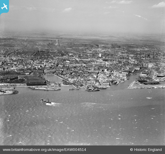
EAW004514 ENGLAND (1947). The city, Kingston upon Hull, from the south-east, 1947
© Hawlfraint cyfranwyr OpenStreetMap a thrwyddedwyd gan yr OpenStreetMap Foundation. 2026. Trwyddedir y gartograffeg fel CC BY-SA.
Delweddau cyfagos (8)
EAW004514

EPW036412

EPW036414

EPW036560

EPW036413

EAW046145

EPW036375

EAW046146

Manylion
| Pennawd | [EAW004514] The city, Kingston upon Hull, from the south-east, 1947 |
| Cyfeirnod | EAW004514 |
| Dyddiad | 16-April-1947 |
| Dolen | |
| Enw lle | KINGSTON UPON HULL |
| Plwyf | |
| Ardal | |
| Gwlad | ENGLAND |
| Dwyreiniad / Gogleddiad | 510001, 427977 |
| Hydred / Lledred | -0.3321531896734, 53.73633940384 |
| Cyfeirnod Grid Cenedlaethol | TA100280 |
Pinnau

Matt Aldred edob.mattaldred.com |
Saturday 22nd of March 2025 04:12:36 PM | |

Chris Kolonko |
Tuesday 7th of May 2019 02:52:53 PM | |
|
Chris Kolonko |
Tuesday 7th of May 2019 02:52:11 PM | |
|
Chris Kolonko |
Wednesday 24th of April 2019 03:55:51 PM | |
|
redmist |
Thursday 1st of November 2018 10:35:03 AM | |
|
Val |
Sunday 15th of January 2017 01:16:50 PM | |
|
Val |
Sunday 15th of January 2017 01:16:06 PM | |
|
Val |
Sunday 15th of January 2017 01:15:38 PM | |
|
John Wass |
Wednesday 1st of October 2014 03:53:46 PM | |
|
John Wass |
Saturday 21st of June 2014 04:57:45 PM | |

David Jessop |
Thursday 20th of February 2014 10:31:58 PM |