
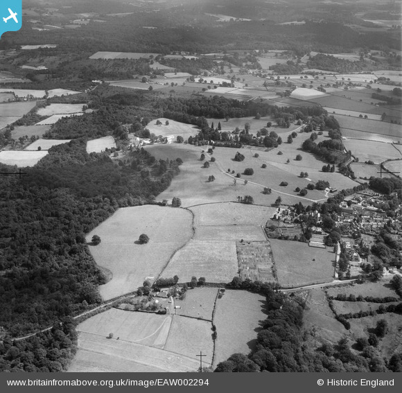
EAW002294 ENGLAND (1946). Countryside between the village, Chase Wood and Ely Grange, Frant, from the west, 1946
© Hawlfraint cyfranwyr OpenStreetMap a thrwyddedwyd gan yr OpenStreetMap Foundation. 2026. Trwyddedir y gartograffeg fel CC BY-SA.
Delweddau cyfagos (10)
EAW002294

EAW003546

EAW002295

EAW001468

EPW028549

EAW001467

EPW028554

EAW003099

EAW003101

EAW003102

Manylion
| Pennawd | [EAW002294] Countryside between the village, Chase Wood and Ely Grange, Frant, from the west, 1946 |
| Cyfeirnod | EAW002294 |
| Dyddiad | 21-August-1946 |
| Dolen | |
| Enw lle | FRANT |
| Plwyf | FRANT |
| Ardal | |
| Gwlad | ENGLAND |
| Dwyreiniad / Gogleddiad | 558899, 135793 |
| Hydred / Lledred | 0.26966782837548, 51.098863121479 |
| Cyfeirnod Grid Cenedlaethol | TQ589358 |
