
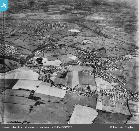
EAW000337 ENGLAND (1946). Wistaston with Crewe in the distance, Wistaston, from the west, 1946
© Hawlfraint cyfranwyr OpenStreetMap a thrwyddedwyd gan yr OpenStreetMap Foundation. 2026. Trwyddedir y gartograffeg fel CC BY-SA.
Delweddau cyfagos (4)
EAW000337

EAW000341

EAW000334

EAW000333

Manylion
| Pennawd | [EAW000337] Wistaston with Crewe in the distance, Wistaston, from the west, 1946 |
| Cyfeirnod | EAW000337 |
| Dyddiad | 19-April-1946 |
| Dolen | |
| Enw lle | WISTASTON |
| Plwyf | WISTASTON |
| Ardal | |
| Gwlad | ENGLAND |
| Dwyreiniad / Gogleddiad | 368292, 353771 |
| Hydred / Lledred | -2.4733970398737, 53.079921911224 |
| Cyfeirnod Grid Cenedlaethol | SJ683538 |
Pinnau

Crewedaddy |
Wednesday 13th of September 2017 01:12:19 AM | |
|
Crewedaddy |
Wednesday 13th of September 2017 01:09:57 AM | |
|
Creweboy |
Sunday 17th of January 2016 09:08:42 PM | |
|
Creweboy |
Sunday 17th of January 2016 09:08:16 PM | |
|
Creweboy |
Sunday 17th of January 2016 09:07:53 PM |