
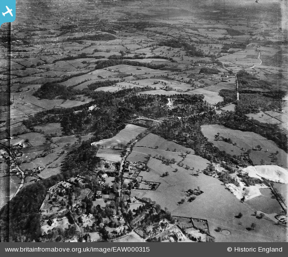
EAW000315 ENGLAND (1946). Woodland on either side of the Macclesfield Road and surrounding countryside, Alderley Edge, from the north-west, 1946
© Hawlfraint cyfranwyr OpenStreetMap a thrwyddedwyd gan yr OpenStreetMap Foundation. 2026. Trwyddedir y gartograffeg fel CC BY-SA.
Delweddau cyfagos (8)
EAW000315

EAW000320

EAW000317

EAW000446

EAW000448

EAW000316

EAW000319

EAW000318

Manylion
| Pennawd | [EAW000315] Woodland on either side of the Macclesfield Road and surrounding countryside, Alderley Edge, from the north-west, 1946 |
| Cyfeirnod | EAW000315 |
| Dyddiad | 19-April-1946 |
| Dolen | |
| Enw lle | ALDERLEY EDGE |
| Plwyf | ALDERLEY EDGE |
| Ardal | |
| Gwlad | ENGLAND |
| Dwyreiniad / Gogleddiad | 385399, 377764 |
| Hydred / Lledred | -2.2190912246129, 53.296357628516 |
| Cyfeirnod Grid Cenedlaethol | SJ854778 |
Pinnau

JohnTomlinson18 |
Sunday 10th of November 2013 02:20:53 PM | |
|
JohnTomlinson18 |
Sunday 10th of November 2013 02:20:00 PM |