
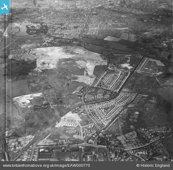
EAW000770 ENGLAND (1946). Industrial land adjacent to Wolverhampton Road and Bentley Cemetery, Bentley 1946
© Copyright OpenStreetMap contributors and licensed by the OpenStreetMap Foundation. 2025. Cartography is licensed as CC BY-SA.
Nearby Images (9)
EAW000770

EAW000776

EAW000773

EAW000772

EAW047011

EAW047013

EAW000779

EAW047015

EAW000771

Details
| Title | [EAW000770] Industrial land adjacent to Wolverhampton Road and Bentley Cemetery, Bentley 1946 |
| Reference | EAW000770 |
| Date | 11-May-1946 |
| Link | |
| Place name | BENTLEY |
| Parish | |
| District | |
| Country | ENGLAND |
| Easting / Northing | 398283, 298793 |
| Longitude / Latitude | -2.025345747939, 52.586582634923 |
| National Grid Reference | SO983988 |
Pins

PaulEdwards |
Tuesday 7th of July 2015 11:43:17 PM | |
|
PaulEdwards |
Sunday 28th of June 2015 10:37:16 PM | |
|
PaulEdwards |
Tuesday 16th of June 2015 10:21:31 AM | |
|
PaulEdwards |
Tuesday 16th of June 2015 10:18:06 AM | |
|
PaulEdwards |
Monday 15th of June 2015 11:04:47 AM | |
|
PaulEdwards |
Monday 15th of June 2015 10:30:11 AM | |
|
PaulEdwards |
Sunday 14th of June 2015 05:01:49 PM | |
|
PaulEdwards |
Sunday 14th of June 2015 04:51:35 PM | |
|
PaulEdwards |
Sunday 14th of June 2015 10:38:10 AM | |
|
PaulEdwards |
Thursday 11th of June 2015 09:53:22 AM | |
|
PaulEdwards |
Saturday 6th of June 2015 10:55:37 PM | |
|
PaulEdwards |
Saturday 6th of June 2015 10:51:54 PM | |
|
PaulEdwards |
Saturday 6th of June 2015 10:50:30 PM | |
|
PaulEdwards |
Saturday 6th of June 2015 10:48:13 PM | |
|
Bentleyboy |
Saturday 5th of April 2014 08:32:49 AM | |
|
Bentleyboy |
Saturday 5th of April 2014 08:30:41 AM | |
|
Bentleyboy |
Saturday 5th of April 2014 08:28:55 AM | |
|
Martin |
Friday 31st of January 2014 07:07:25 PM | |
|
Martin |
Friday 31st of January 2014 07:03:16 PM | |
|
Martin |
Thursday 26th of December 2013 02:20:16 PM |
User Comment Contributions

A Google Earth image from approximately the same location as the original was taken. |
PaulEdwards |
Monday 8th of June 2015 05:47:49 PM |