
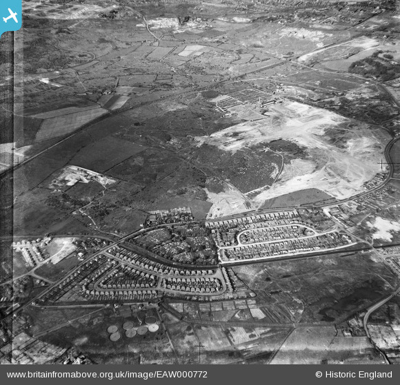
EAW000772 ENGLAND (1946). Industrial land adjacent to Wolverhampton Road and Bentley Cemetery, Bentley 1946
© Copyright OpenStreetMap contributors and licensed by the OpenStreetMap Foundation. 2025. Cartography is licensed as CC BY-SA.
Nearby Images (6)
EAW000772

EAW000776

EAW000771

EAW000773

EAW000770

EAW047013

Details
| Title | [EAW000772] Industrial land adjacent to Wolverhampton Road and Bentley Cemetery, Bentley 1946 |
| Reference | EAW000772 |
| Date | 11-May-1946 |
| Link | |
| Place name | BENTLEY |
| Parish | |
| District | |
| Country | ENGLAND |
| Easting / Northing | 398258, 298962 |
| Longitude / Latitude | -2.0257156784204, 52.588102007891 |
| National Grid Reference | SO983990 |
Pins

Rockgod |
Tuesday 3rd of March 2020 04:50:11 PM | |
|
Bentleyboy |
Saturday 5th of April 2014 08:26:02 AM | |
|
Bentleyboy |
Saturday 5th of April 2014 08:23:36 AM | |
|
Bentleyboy |
Friday 4th of April 2014 10:42:27 PM | |
|
Bentleyboy |
Friday 4th of April 2014 10:40:48 PM | |
|
Bentleyboy |
Friday 4th of April 2014 10:38:42 PM | |
|
Bentleyboy |
Friday 4th of April 2014 10:37:45 PM |