
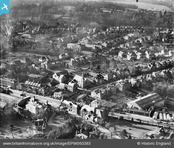
EPW060383 ENGLAND (1939). The Drive and surrounding streets, Sevenoaks, 1939
© Copyright OpenStreetMap contributors and licensed by the OpenStreetMap Foundation. 2025. Cartography is licensed as CC BY-SA.
Nearby Images (4)
EPW060383

EPW060385

EPW001426

EPW060382

Details
| Title | [EPW060383] The Drive and surrounding streets, Sevenoaks, 1939 |
| Reference | EPW060383 |
| Date | 13-January-1939 |
| Link | |
| Place name | SEVENOAKS |
| Parish | SEVENOAKS |
| District | |
| Country | ENGLAND |
| Easting / Northing | 552923, 155028 |
| Longitude / Latitude | 0.19256630215299, 51.273342238108 |
| National Grid Reference | TQ529550 |
Pins
 [eBay} - Copy_0.jpg) ChesterMan |
Monday 3rd of November 2014 11:31:50 AM | |
ChesterMan |
Monday 3rd of November 2014 11:19:40 AM | |
ChesterMan |
Monday 3rd of November 2014 11:19:11 AM | |
ChesterMan |
Monday 3rd of November 2014 11:18:11 AM | |
ChesterMan |
Monday 3rd of November 2014 11:17:51 AM | |
ChesterMan |
Monday 3rd of November 2014 11:16:40 AM | |
ChesterMan |
Monday 3rd of November 2014 11:12:19 AM | |
ChesterMan |
Monday 3rd of November 2014 11:09:46 AM | |
ChesterMan |
Monday 3rd of November 2014 11:03:40 AM | |
 chainbull |
Saturday 2nd of August 2014 07:41:21 PM |