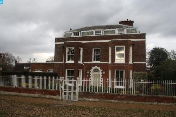
EPW060385 ENGLAND (1939). The town, Sevenoaks, 1939

© Copyright OpenStreetMap contributors and licensed by the OpenStreetMap Foundation. 2025. Cartography is licensed as CC BY-SA.
Nearby Images (4)
EPW060385

EPW001426

EPW060382

EPW060383

Details
| Title | [EPW060385] The town, Sevenoaks, 1939 |
| Reference | EPW060385 |
| Date | 13-January-1939 |
| Link | |
| Place name | SEVENOAKS |
| Parish | SEVENOAKS |
| District | |
| Country | ENGLAND |
| Easting / Northing | 552849, 154958 |
| Longitude / Latitude | 0.19147620546388, 51.272733056409 |
| National Grid Reference | TQ528550 |
Pins
 Gone2Kent |
Sunday 29th of March 2015 07:38:05 PM | |
Gone2Kent |
Sunday 29th of March 2015 07:34:57 PM | |
chainbull |
Saturday 2nd of August 2014 07:46:16 PM | |
chainbull |
Saturday 2nd of August 2014 07:44:39 PM | |
chainbull |
Saturday 2nd of August 2014 07:43:44 PM | |
chainbull |
Saturday 2nd of August 2014 07:42:39 PM |