
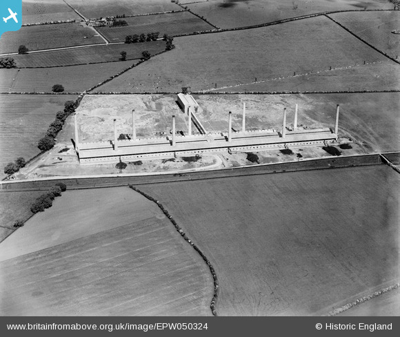
EPW050324 ENGLAND (1936). The Ridgmont Brick Works, Brogborough, 1936
© Copyright OpenStreetMap contributors and licensed by the OpenStreetMap Foundation. 2026. Cartography is licensed as CC BY-SA.
Nearby Images (12)
EPW050324

EPW050319

EPW050318

EPW050323

EPW050314

EPW050317

EPW050316

EPW050321

EPW050320

EPW050322

EPW050325

EAW028103

Details
| Title | [EPW050324] The Ridgmont Brick Works, Brogborough, 1936 |
| Reference | EPW050324 |
| Date | May-1936 |
| Link | |
| Place name | BROGBOROUGH |
| Parish | BROGBOROUGH |
| District | |
| Country | ENGLAND |
| Easting / Northing | 496722, 237694 |
| Longitude / Latitude | -0.59002183164378, 52.028791501166 |
| National Grid Reference | SP967377 |
