
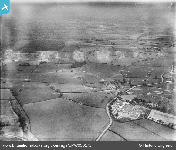
EPW050171 ENGLAND (1936). Countryside between the NATSOPA Memorial Home and Sibson Wolds, Wellsborough, from the south-west, 1936. This image has been produced from a damaged negative.
© Copyright OpenStreetMap contributors and licensed by the OpenStreetMap Foundation. 2026. Cartography is licensed as CC BY-SA.
Nearby Images (17)
EPW050171

EPW050170

EPW050172

EAW025251
 Memorial Home, Wellsborough, from the north-west, 1949")
EAW025253
 Memorial Home, Wellsborough, from the north-west, 1949")
EPW050176

EPW050178

EPW050168

EPW050175

EPW050173

EPW050166

EPW050169

EPW050180

EPW050167

EAW025252
 Memorial Home, Wellsborough, from the south-east, 1949")
EPW050174

EAW025248
 Memorial Home, Wellsborough, 1949")
Details
| Title | [EPW050171] Countryside between the NATSOPA Memorial Home and Sibson Wolds, Wellsborough, from the south-west, 1936. This image has been produced from a damaged negative. |
| Reference | EPW050171 |
| Date | May-1936 |
| Link | |
| Place name | WELLSBOROUGH |
| Parish | SHEEPY |
| District | |
| Country | ENGLAND |
| Easting / Northing | 436042, 302534 |
| Longitude / Latitude | -1.4675654963843, 52.619023584355 |
| National Grid Reference | SK360025 |
Pins

totoro |
Tuesday 15th of March 2016 09:08:05 PM | |
|
totoro |
Tuesday 15th of March 2016 08:50:07 PM | |
|
totoro |
Tuesday 15th of March 2016 08:47:59 PM |