
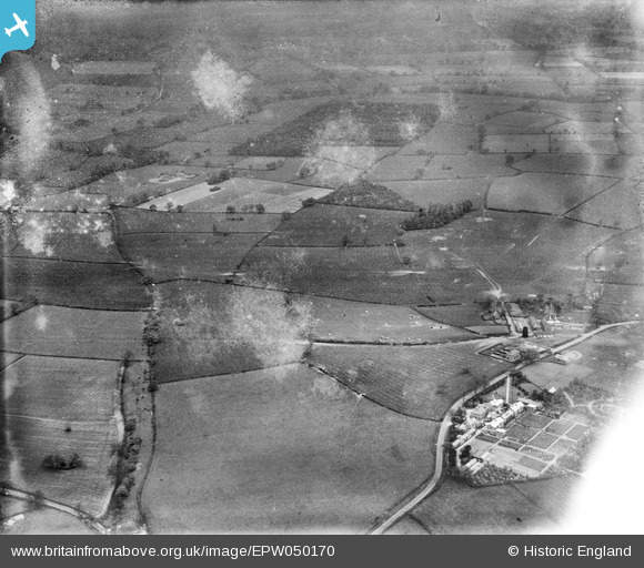
EPW050170 ENGLAND (1936). Countryside between the NATSOPA Memorial Home and Sibson Wolds, Wellsborough, from the south, 1936. This image has been produced from a damaged negative.
© Copyright OpenStreetMap contributors and licensed by the OpenStreetMap Foundation. 2026. Cartography is licensed as CC BY-SA.
Nearby Images (3)
EPW050170

EPW050171

EPW050172

Details
| Title | [EPW050170] Countryside between the NATSOPA Memorial Home and Sibson Wolds, Wellsborough, from the south, 1936. This image has been produced from a damaged negative. |
| Reference | EPW050170 |
| Date | May-1936 |
| Link | |
| Place name | WELLSBOROUGH |
| Parish | SHEEPY |
| District | |
| Country | ENGLAND |
| Easting / Northing | 435982, 302614 |
| Longitude / Latitude | -1.4684430994319, 52.619746797005 |
| National Grid Reference | SK360026 |
Pins

totoro |
Tuesday 15th of March 2016 09:07:32 PM | |
|
totoro |
Tuesday 15th of March 2016 08:50:16 PM | |
|
totoro |
Tuesday 15th of March 2016 08:48:09 PM |