
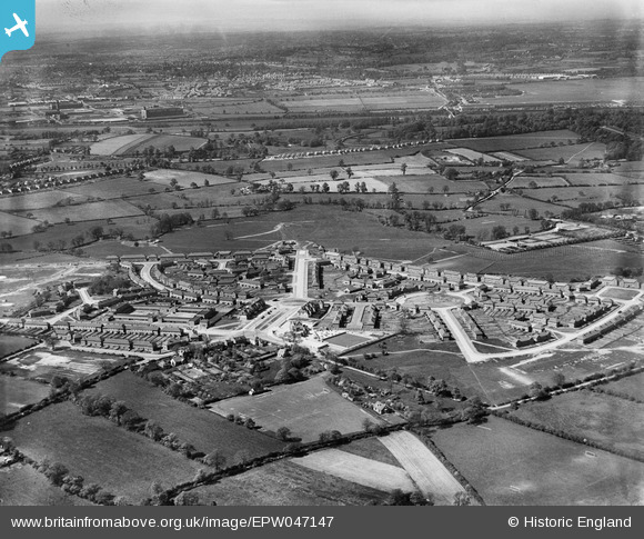
EPW047147 ENGLAND (1935). The residential area surrounding Hollington Crescent and Glebe Farm Road, Stechford, from the south-east, 1935
© Copyright OpenStreetMap contributors and licensed by the OpenStreetMap Foundation. 2026. Cartography is licensed as CC BY-SA.
Nearby Images (14)
EPW047147

EAW001180

EPW059270

EPW059276

EAW001178

EAW001175

EAW001181

EPW059271

EPW047141

EAW001173

EAW001174

EAW001179

EAW001170

EPW047142

Details
| Title | [EPW047147] The residential area surrounding Hollington Crescent and Glebe Farm Road, Stechford, from the south-east, 1935 |
| Reference | EPW047147 |
| Date | May-1935 |
| Link | |
| Place name | STECHFORD |
| Parish | |
| District | |
| Country | ENGLAND |
| Easting / Northing | 414210, 287681 |
| Longitude / Latitude | -1.7907133271526, 52.486493139622 |
| National Grid Reference | SP142877 |
Pins
Be the first to add a comment to this image!