
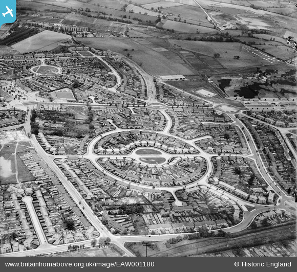
EAW001180 ENGLAND (1946). Housing estate centred upon Gillscroft Road and environs, Glebe Farm, 1946
© Copyright OpenStreetMap contributors and licensed by the OpenStreetMap Foundation. 2026. Cartography is licensed as CC BY-SA.
Nearby Images (12)
EAW001180

EPW059270

EAW001178

EPW059276

EPW047147

EAW001170

EAW001181

EAW001173

EAW001182

EPW059279

EPW059277

EPW059271

Details
| Title | [EAW001180] Housing estate centred upon Gillscroft Road and environs, Glebe Farm, 1946 |
| Reference | EAW001180 |
| Date | 21-June-1946 |
| Link | |
| Place name | GLEBE FARM |
| Parish | |
| District | |
| Country | ENGLAND |
| Easting / Northing | 414268, 287554 |
| Longitude / Latitude | -1.7898645434757, 52.485349776478 |
| National Grid Reference | SP143876 |
Pins
Be the first to add a comment to this image!