
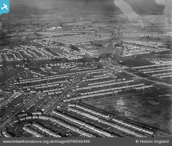
EPW046496 ENGLAND (1935). Residential development around Rayners Lane Station, Rayners Lane, from the south-west, 1935
© Copyright OpenStreetMap contributors and licensed by the OpenStreetMap Foundation. 2025. Cartography is licensed as CC BY-SA.
Nearby Images (7)
EPW046496

EPW046493

EPW040816

EPW040810

EPW040813

EPR000201

EPW040809

Details
| Title | [EPW046496] Residential development around Rayners Lane Station, Rayners Lane, from the south-west, 1935 |
| Reference | EPW046496 |
| Date | January-1935 |
| Link | |
| Place name | RAYNERS LANE |
| Parish | |
| District | |
| Country | ENGLAND |
| Easting / Northing | 512669, 186905 |
| Longitude / Latitude | -0.37415429612418, 51.569269619653 |
| National Grid Reference | TQ127869 |
Pins

TinyTim |
Friday 31st of July 2015 05:28:53 PM | |
|
TinyTim |
Friday 31st of July 2015 05:27:04 PM | |
|
TinyTim |
Friday 31st of July 2015 05:26:39 PM | |
|
TinyTim |
Friday 31st of July 2015 05:26:16 PM | |
|
TinyTim |
Friday 31st of July 2015 05:25:11 PM | |
|
Roy Cousins |
Thursday 2nd of April 2015 03:54:44 PM | |
|
Roy Cousins |
Thursday 2nd of April 2015 12:19:46 PM | |
|
Gez |
Thursday 9th of January 2014 10:30:45 PM |