
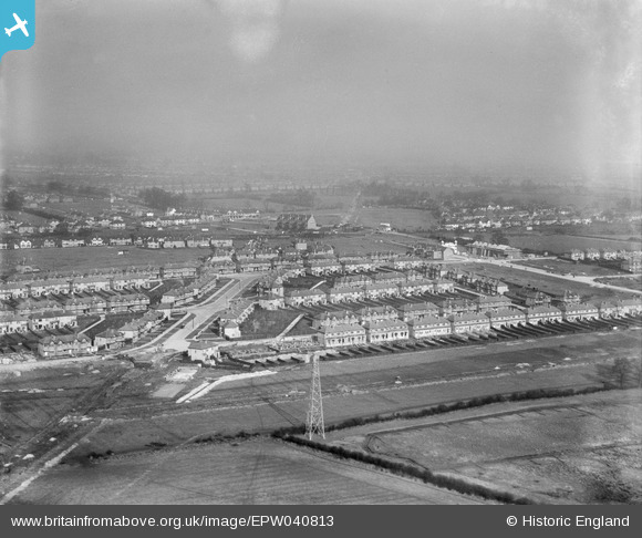
EPW040813 ENGLAND (1933). Housing estate under construction at Kings Road, Rayners Lane, from the south, 1933
© Copyright OpenStreetMap contributors and licensed by the OpenStreetMap Foundation. 2025. Cartography is licensed as CC BY-SA.
Nearby Images (7)
EPW040813

EPW040816

EPW040810

EPW046496

EPW046493

EPW040809

EPW040807

Details
| Title | [EPW040813] Housing estate under construction at Kings Road, Rayners Lane, from the south, 1933 |
| Reference | EPW040813 |
| Date | February-1933 |
| Link | |
| Place name | RAYNERS LANE |
| Parish | |
| District | |
| Country | ENGLAND |
| Easting / Northing | 512746, 187019 |
| Longitude / Latitude | -0.37300705849425, 51.570278944732 |
| National Grid Reference | TQ127870 |
Pins

The Laird |
Friday 14th of October 2016 03:35:13 PM | |
|
The Laird |
Friday 14th of October 2016 03:26:48 PM | |
|
The Laird |
Friday 14th of October 2016 03:12:02 PM | |
|
TinyTim |
Friday 31st of July 2015 04:27:25 PM | |
|
TinyTim |
Friday 31st of July 2015 04:25:08 PM | |
|
TinyTim |
Friday 31st of July 2015 04:20:56 PM | |
|
TinyTim |
Friday 31st of July 2015 04:19:26 PM |