
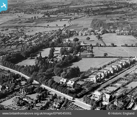
EPW045061 ENGLAND (1934). Hale Carr and the surrounding residential area, Hale, 1934
© Copyright OpenStreetMap contributors and licensed by the OpenStreetMap Foundation. 2026. Cartography is licensed as CC BY-SA.
Nearby Images (6)
EPW045061

EPW045063

EPW045064

EPW045060

EPW045064A

EPW045062

Details
| Title | [EPW045061] Hale Carr and the surrounding residential area, Hale, 1934 |
| Reference | EPW045061 |
| Date | June-1934 |
| Link | |
| Place name | HALE |
| Parish | |
| District | |
| Country | ENGLAND |
| Easting / Northing | 378602, 386674 |
| Longitude / Latitude | -2.3216823436771, 53.376223746181 |
| National Grid Reference | SJ786867 |
Pins

Nick |
Saturday 20th of December 2014 04:40:21 PM | |
|
John Ellis |
Wednesday 8th of January 2014 11:25:39 AM | |
|
John Ellis |
Wednesday 8th of January 2014 11:24:41 AM | |
|
John Ellis |
Wednesday 8th of January 2014 11:23:56 AM | |
|
John Ellis |
Wednesday 8th of January 2014 11:22:12 AM | |
|
John Ellis |
Wednesday 8th of January 2014 11:21:23 AM | |
|
John Ellis |
Wednesday 8th of January 2014 11:19:53 AM | |
|
John Ellis |
Tuesday 7th of January 2014 10:05:35 PM | |
|
John Ellis |
Tuesday 7th of January 2014 10:04:53 PM | |
|
John Ellis |
Tuesday 7th of January 2014 10:04:17 PM | |
|
John Ellis |
Tuesday 7th of January 2014 10:03:42 PM | |
|
John Ellis |
Tuesday 7th of January 2014 10:03:17 PM | |
|
John Ellis |
Tuesday 7th of January 2014 10:02:53 PM | |
|
John Ellis |
Tuesday 7th of January 2014 10:02:23 PM | |
|
John Ellis |
Tuesday 7th of January 2014 10:01:35 PM |