
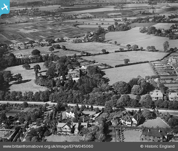
EPW045060 ENGLAND (1934). Hale Carr and surrounding countryside, Hale, 1934
© Copyright OpenStreetMap contributors and licensed by the OpenStreetMap Foundation. 2026. Cartography is licensed as CC BY-SA.
Nearby Images (6)
EPW045060

EPW045064

EPW045061

EPW045062

EPW045064A

EPW045063

Details
| Title | [EPW045060] Hale Carr and surrounding countryside, Hale, 1934 |
| Reference | EPW045060 |
| Date | June-1934 |
| Link | |
| Place name | HALE |
| Parish | |
| District | |
| Country | ENGLAND |
| Easting / Northing | 378624, 386654 |
| Longitude / Latitude | -2.3213502636209, 53.376044846732 |
| National Grid Reference | SJ786867 |
Pins

Mervyn |
Wednesday 17th of May 2023 11:16:27 AM | |
|
John Ellis |
Wednesday 8th of January 2014 11:17:02 AM | |
|
John Ellis |
Wednesday 8th of January 2014 11:13:31 AM | |
|
John Ellis |
Wednesday 8th of January 2014 11:12:47 AM | |
|
John Ellis |
Wednesday 8th of January 2014 11:11:51 AM | |
|
John Ellis |
Wednesday 8th of January 2014 11:10:05 AM | |
|
John Ellis |
Wednesday 8th of January 2014 11:09:09 AM | |
|
John Ellis |
Wednesday 8th of January 2014 11:06:54 AM | |
|
John Ellis |
Wednesday 8th of January 2014 11:05:21 AM | |
|
John Ellis |
Wednesday 8th of January 2014 11:04:05 AM | |
|
John Ellis |
Wednesday 8th of January 2014 11:01:16 AM |