
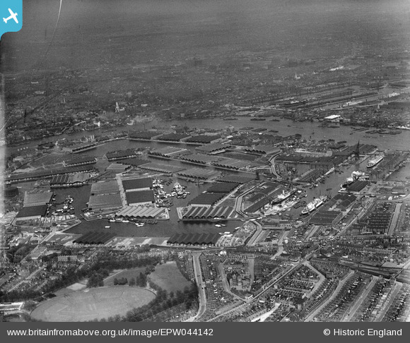
EPW044142 ENGLAND (1934). Surrey Commercial Docks, Rotherhithe, from the south-west, 1934
© Copyright OpenStreetMap contributors and licensed by the OpenStreetMap Foundation. 2026. Cartography is licensed as CC BY-SA.
Nearby Images (6)
EPW044142

EAW164220

EPW044146

EAW043642

EPW018115

EPW060454

Details
| Title | [EPW044142] Surrey Commercial Docks, Rotherhithe, from the south-west, 1934 |
| Reference | EPW044142 |
| Date | May-1934 |
| Link | |
| Place name | ROTHERHITHE |
| Parish | |
| District | |
| Country | ENGLAND |
| Easting / Northing | 535774, 179172 |
| Longitude / Latitude | -0.043916209878454, 51.494680753926 |
| National Grid Reference | TQ358792 |
Pins

brianbeckett |
Sunday 12th of October 2014 12:14:45 PM | |
|
S00Z |
Tuesday 28th of January 2014 11:30:43 PM | |
|
S00Z |
Tuesday 28th of January 2014 11:29:00 PM | |
|
S00Z |
Tuesday 28th of January 2014 11:28:28 PM |
User Comment Contributions
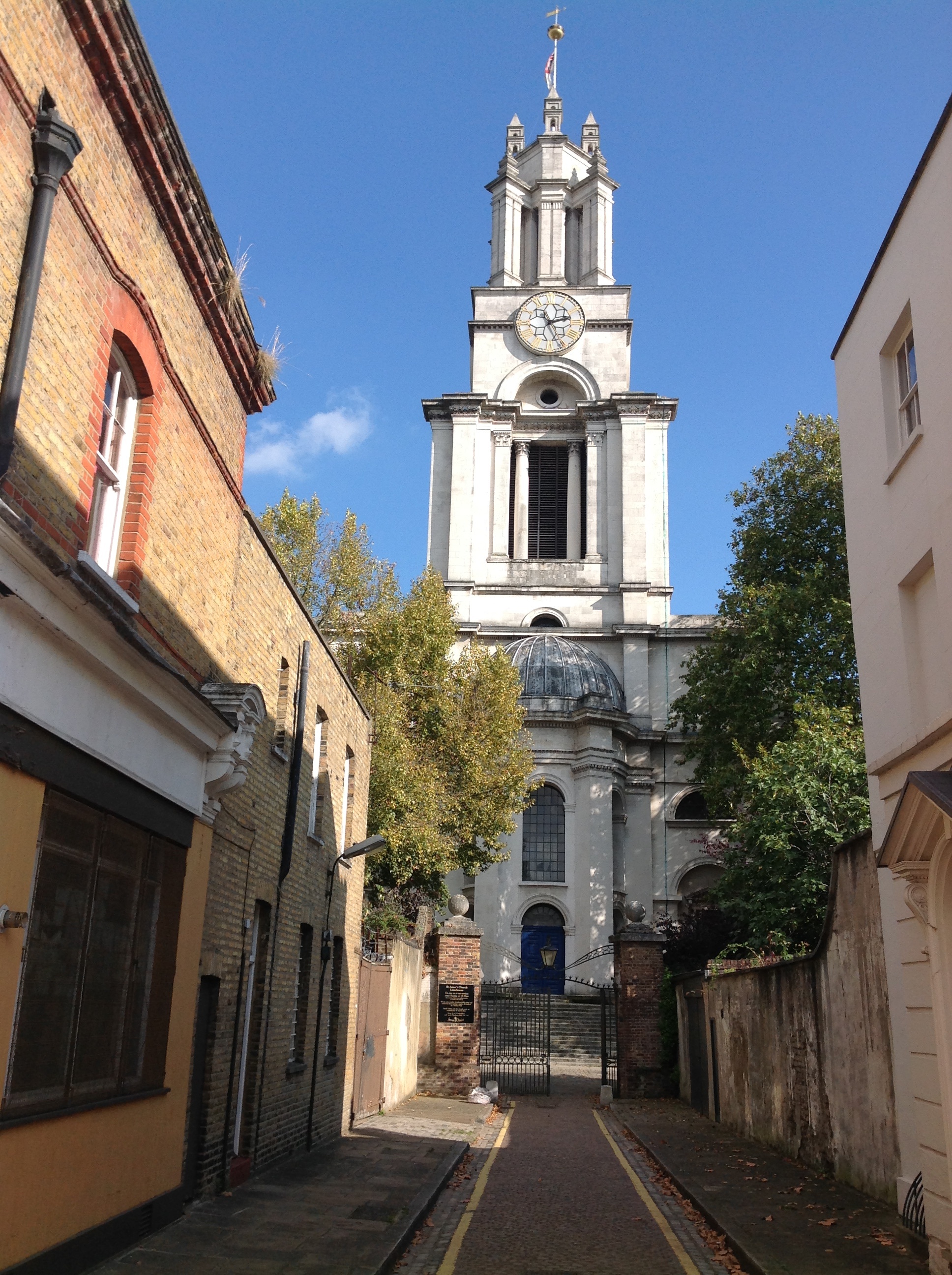
St. Anne's Church, Limehouse, 30/09/2014 |

Class31 |
Sunday 5th of October 2014 02:40:27 PM |