
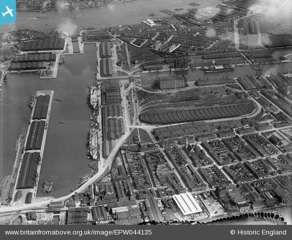
EPW044135 ENGLAND (1934). South Dock, Millwall Inner Dock and environs, Isle of Dogs, 1934
© Copyright OpenStreetMap contributors and licensed by the OpenStreetMap Foundation. 2026. Cartography is licensed as CC BY-SA.
Nearby Images (10)
EPW044135

EAW009114

EPW032138

EPW032136

EPW032140

EPW032141

EPW032143

EPW032139

EPW032137

EPW032142

Details
| Title | [EPW044135] South Dock, Millwall Inner Dock and environs, Isle of Dogs, 1934 |
| Reference | EPW044135 |
| Date | May-1934 |
| Link | |
| Place name | ISLE OF DOGS |
| Parish | |
| District | |
| Country | ENGLAND |
| Easting / Northing | 537522, 179783 |
| Longitude / Latitude | -0.018510845516682, 51.499749320723 |
| National Grid Reference | TQ375798 |
Pins

moses72 |
Tuesday 11th of November 2014 05:45:25 PM |