
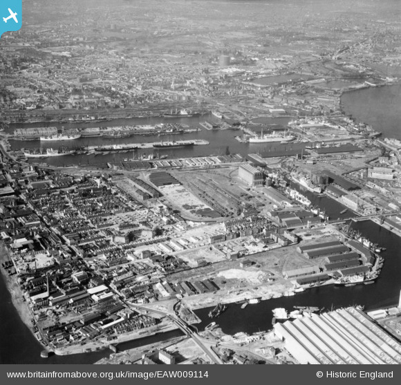
EAW009114 ENGLAND (1947). Millwall, Isle of Dogs, 1947
© Copyright OpenStreetMap contributors and licensed by the OpenStreetMap Foundation. 2026. Cartography is licensed as CC BY-SA.
Nearby Images (10)
EAW009114

EPW044135

EPW032138

EPW032140

EPW032141

EPW032136

EPW032139

EPW032143

EPW032137

EPW032142

Details
| Title | [EAW009114] Millwall, Isle of Dogs, 1947 |
| Reference | EAW009114 |
| Date | 14-August-1947 |
| Link | |
| Place name | ISLE OF DOGS |
| Parish | |
| District | |
| Country | ENGLAND |
| Easting / Northing | 537551, 179725 |
| Longitude / Latitude | -0.01811588432718, 51.499221010091 |
| National Grid Reference | TQ376797 |
Pins

redmist |
Wednesday 3rd of November 2021 10:28:52 PM | |
|
Grollo |
Tuesday 1st of March 2016 05:39:12 AM | |
|
Grollo |
Tuesday 1st of March 2016 05:37:44 AM | |
|
Chelsea61 |
Wednesday 6th of November 2013 06:31:21 PM |