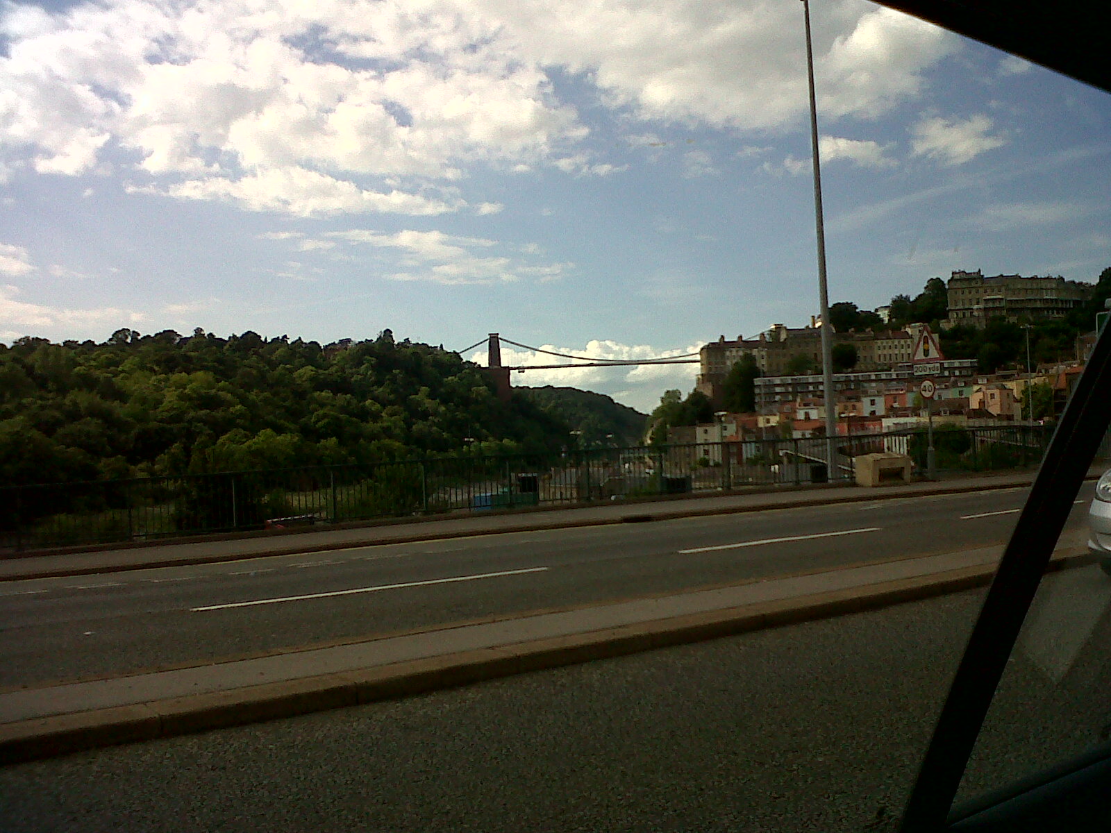
EPW041480 ENGLAND (1933). The Clifton Suspension Bridge, Clifton Down promontory fort and environs, Clifton, 1933

© Copyright OpenStreetMap contributors and licensed by the OpenStreetMap Foundation. 2026. Cartography is licensed as CC BY-SA.
Nearby Images (20)
EPW041480

EPW037150

EAW050560

EPW032526

EPW001274

EAW015138

EPR000063

EAW016132

EAW033327

EPW048299

EAW033323

EPW022272

EAW050558

EAW050559

EPW049535

EPW012024

EAW033325

EPW022273

EPW032539

EAW002263

Details
| Title | [EPW041480] The Clifton Suspension Bridge, Clifton Down promontory fort and environs, Clifton, 1933 |
| Reference | EPW041480 |
| Date | July-1933 |
| Link | |
| Place name | CLIFTON |
| Parish | |
| District | |
| Country | ENGLAND |
| Easting / Northing | 356605, 173102 |
| Longitude / Latitude | -2.624617761097, 51.454744886008 |
| National Grid Reference | ST566731 |
Pins

MB |
Monday 2nd of March 2015 09:44:06 PM | |
|
gerry-r |
Friday 11th of July 2014 05:17:06 PM | |
|
MrNCWilson |
Monday 18th of November 2013 07:33:09 PM | |
The tower was built for an eighteenth-century windmill, used to grind snuff from tobacco leaf imported from Virginia |
MB |
Monday 2nd of March 2015 09:43:09 PM |
|
MrNCWilson |
Monday 18th of November 2013 07:32:49 PM | |
|
MrNCWilson |
Monday 18th of November 2013 07:32:23 PM | |
|
MrNCWilson |
Monday 18th of November 2013 07:31:49 PM | |
|
MrNCWilson |
Monday 18th of November 2013 07:31:32 PM | |
|
MrNCWilson |
Monday 18th of November 2013 07:31:13 PM | |

Class31 |
Tuesday 1st of October 2013 09:44:08 AM | |
|
Class31 |
Tuesday 1st of October 2013 09:43:10 AM |