
EPW041045 ENGLAND (1933). The Pavilion, Westover Road and the town, Bournemouth, from the south 1933

© Copyright OpenStreetMap contributors and licensed by the OpenStreetMap Foundation. 2026. Cartography is licensed as CC BY-SA.
Nearby Images (15)
EPW041045

EPR000663

EPW013563

EPW037423

EAW002994

EPW013552

EPW000266

EPR000282

EPR000286

EAW049057

EPW013560

EAW002993

EAW034625

EAW035603

EPW018159

Details
| Title | [EPW041045] The Pavilion, Westover Road and the town, Bournemouth, from the south 1933 |
| Reference | EPW041045 |
| Date | April-1933 |
| Link | |
| Place name | BOURNEMOUTH |
| Parish | |
| District | |
| Country | ENGLAND |
| Easting / Northing | 408972, 90961 |
| Longitude / Latitude | -1.8728960000242, 50.717633523199 |
| National Grid Reference | SZ090910 |
Pins

H.J.Hill |
Tuesday 20th of May 2014 12:02:51 AM | |

Class31 |
Saturday 19th of April 2014 08:21:33 PM | |

Peter Kazmierczak |
Sunday 15th of September 2013 04:36:12 PM |

User Comment Contributions

The Pavilion 18/04/2014 |
Class31 |
Saturday 19th of April 2014 08:23:32 PM |

The Odeon, Westover Road 18/04/2014 |
Class31 |
Saturday 19th of April 2014 08:19:01 PM |
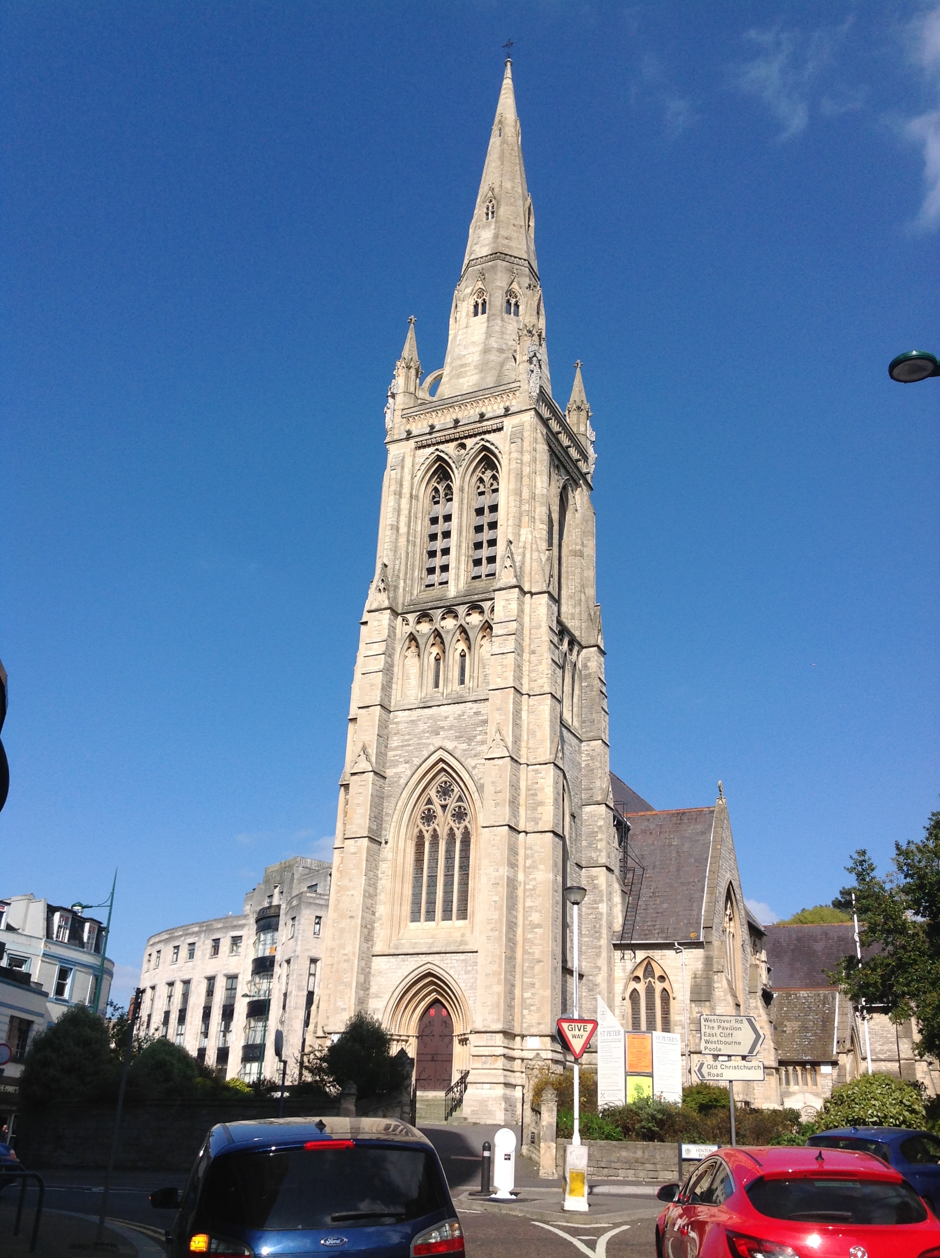
St Peter's Church 18/04/2014 |
Class31 |
Saturday 19th of April 2014 08:16:24 PM |

The Pavilion, Bournemouth 02/01/2014 12.36hrs |
Class31 |
Friday 3rd of January 2014 05:42:17 PM |