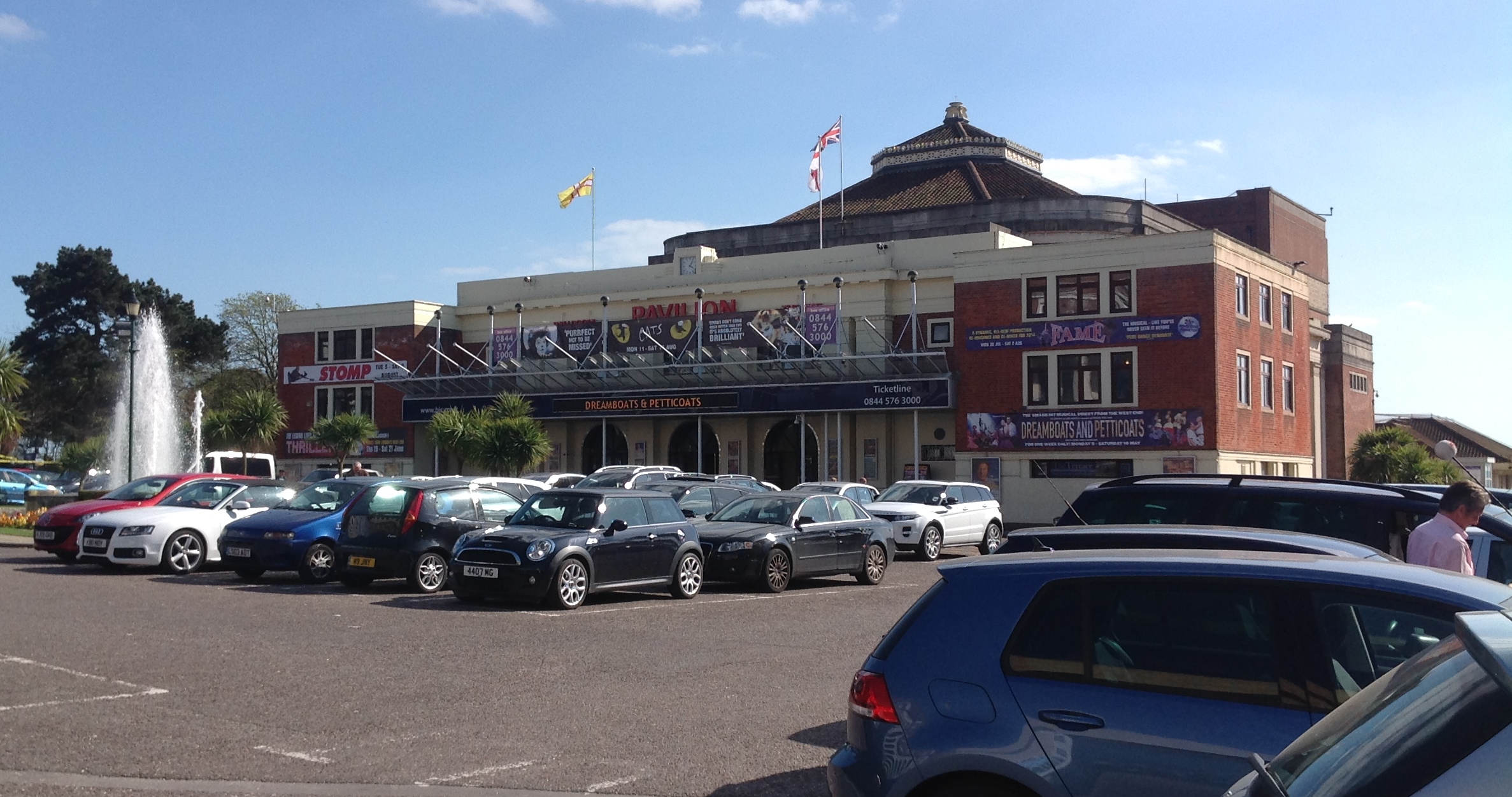
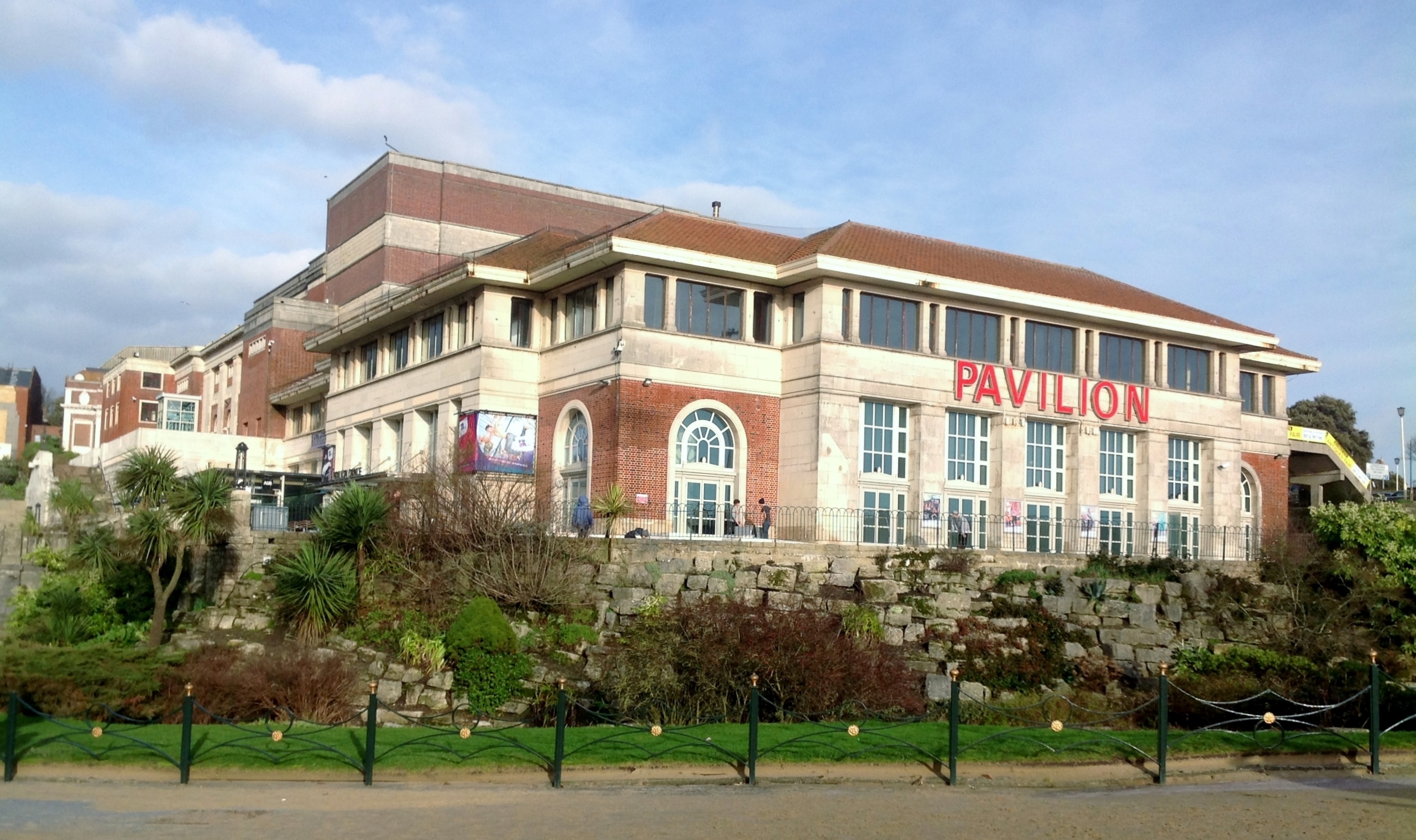
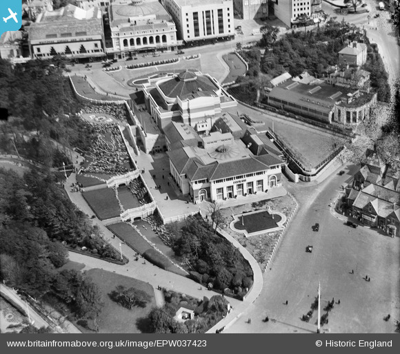
EPW037423 ENGLAND (1932). The Pavilion, Bournemouth, 1932
© Copyright OpenStreetMap contributors and licensed by the OpenStreetMap Foundation. 2026. Cartography is licensed as CC BY-SA.
Nearby Images (19)
EPW037423

EPW013563

EPW013552

EPW000266

EPR000286

EPR000663

EAW002993

EPW013560

EPW041045

EPW013553

EAW018154

EPW018167

EAW034624

EPR000662

EPW037418

EPW018164

EPW061510

EPW000253

EPW041046

Details
| Title | [EPW037423] The Pavilion, Bournemouth, 1932 |
| Reference | EPW037423 |
| Date | April-1932 |
| Link | |
| Place name | BOURNEMOUTH |
| Parish | |
| District | |
| Country | ENGLAND |
| Easting / Northing | 408890, 90851 |
| Longitude / Latitude | -1.8740603210815, 50.716645477653 |
| National Grid Reference | SZ089909 |
Pins
 |

Class31 |
Tuesday 15th of July 2014 09:13:33 AM |

micky |
Thursday 3rd of January 2013 12:18:25 PM | |
|
micky |
Thursday 3rd of January 2013 12:18:00 PM |