
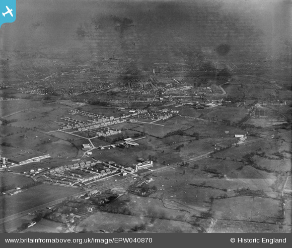
EPW040870 ENGLAND (1933). Housing developement around the Hoover Factory, Perivale, from the south-west, 1933
© Copyright OpenStreetMap contributors and licensed by the OpenStreetMap Foundation. 2026. Cartography is licensed as CC BY-SA.
Nearby Images (22)
EPW040870

EPW039556A

EPW039557

EPW039561

EPW039556

EPW039560

EPW039555

EPW038719

EPW038815

EPW038721

EPW039562

EPW043714

EPW038816

EPW039563

EPW039558

EPW039554

EPW039559

EPW040869

EPW043712

EPW043715

EPW040868

EPW053243

Details
| Title | [EPW040870] Housing developement around the Hoover Factory, Perivale, from the south-west, 1933 |
| Reference | EPW040870 |
| Date | March-1933 |
| Link | |
| Place name | PERIVALE |
| Parish | |
| District | |
| Country | ENGLAND |
| Easting / Northing | 516734, 182969 |
| Longitude / Latitude | -0.31682848146815, 51.533063627184 |
| National Grid Reference | TQ167830 |
Pins

Des Elmes |
Monday 4th of April 2016 09:46:41 PM | |
|
Des Elmes |
Monday 4th of April 2016 09:27:26 PM | |
|
Des Elmes |
Monday 4th of April 2016 09:25:09 PM | |
|
Des Elmes |
Monday 4th of April 2016 09:21:47 PM | |
|
Des Elmes |
Monday 4th of April 2016 09:20:31 PM |