
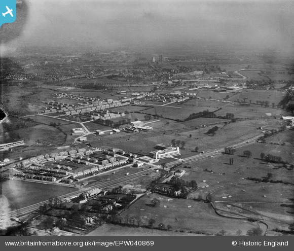
EPW040869 ENGLAND (1933). Housing developement around the Hoover Factory, Perivale, from the south-west, 1933
© Copyright OpenStreetMap contributors and licensed by the OpenStreetMap Foundation. 2026. Cartography is licensed as CC BY-SA.
Nearby Images (24)
EPW040869

EPW039559

EPW039554

EPW039558

EPW038816

EPW038721

EPW038815

EPW039562

EPW039563

EPW038719

EPW039555

EPW039556

EPW039560

EPW039561

EPW039557

EPW039556A

EPW040870

EPW040868

EPW043714

EPW035540

EPW038720

EPW053243

EPW043715

EPW043712

Details
| Title | [EPW040869] Housing developement around the Hoover Factory, Perivale, from the south-west, 1933 |
| Reference | EPW040869 |
| Date | March-1933 |
| Link | |
| Place name | PERIVALE |
| Parish | |
| District | |
| Country | ENGLAND |
| Easting / Northing | 516615, 182965 |
| Longitude / Latitude | -0.31854485572755, 51.533052270374 |
| National Grid Reference | TQ166830 |
Pins

The Laird |
Friday 27th of June 2014 11:54:15 AM |