
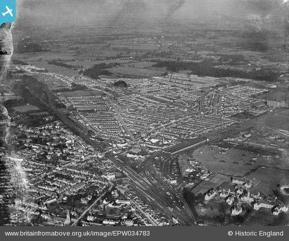
EPW034783 ENGLAND (1931). Residential area around St Albans Road and Leavesden Road, North Watford, 1931
© Copyright OpenStreetMap contributors and licensed by the OpenStreetMap Foundation. 2026. Cartography is licensed as CC BY-SA.
Nearby Images (7)
EPW034783

EAW028658

EPW034773

EPW034777

EPW034778

EPW034774

EPW034776

Details
| Title | [EPW034783] Residential area around St Albans Road and Leavesden Road, North Watford, 1931 |
| Reference | EPW034783 |
| Date | January-1931 |
| Link | |
| Place name | NORTH WATFORD |
| Parish | |
| District | |
| Country | ENGLAND |
| Easting / Northing | 510790, 198166 |
| Longitude / Latitude | -0.39769548924361, 51.670865033306 |
| National Grid Reference | TQ108982 |
Pins

H.E. |
Sunday 4th of February 2024 03:11:26 PM | |
|
H.E. |
Sunday 4th of February 2024 03:10:12 PM | |
|
H.E. |
Sunday 4th of February 2024 03:07:17 PM | |
|
H.E. |
Sunday 4th of February 2024 03:06:21 PM | |
|
The Laird |
Tuesday 13th of October 2020 01:46:04 PM | |
|
The Laird |
Tuesday 13th of October 2020 01:35:48 PM | |
|
The Laird |
Tuesday 13th of October 2020 01:35:04 PM | |
|
The Laird |
Tuesday 13th of October 2020 01:26:42 PM |