
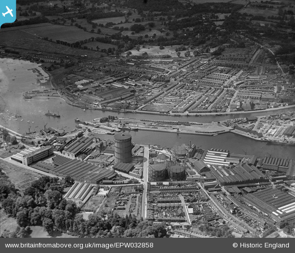
EPW032858 ENGLAND (1930). The docks and environs, Ipswich, 1930
© Copyright OpenStreetMap contributors and licensed by the OpenStreetMap Foundation. 2026. Cartography is licensed as CC BY-SA.
Nearby Images (17)
EPW032858

EAW033331

EPW032855

EPW032877

EPW032863

EPW032849

EPW032836

EPW032859

EPW001825

EPW024976

EPW041400

EPW032837

EAW033332

EPW001827

EPW032853

EPW024986

EAW033334

Details
| Title | [EPW032858] The docks and environs, Ipswich, 1930 |
| Reference | EPW032858 |
| Date | June-1930 |
| Link | |
| Place name | IPSWICH |
| Parish | |
| District | |
| Country | ENGLAND |
| Easting / Northing | 616836, 243500 |
| Longitude / Latitude | 1.1625529253149, 52.046985325305 |
| National Grid Reference | TM168435 |
Pins
Be the first to add a comment to this image!