
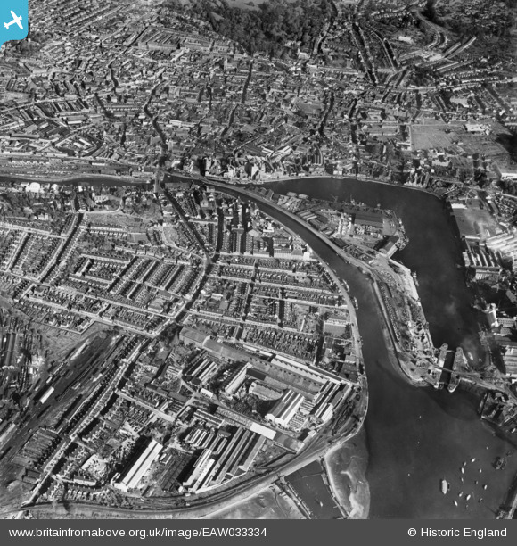
EAW033334 ENGLAND (1950). Ipswich Dock, New Cut and the town, Ipswich, 1950
© Copyright OpenStreetMap contributors and licensed by the OpenStreetMap Foundation. 2026. Cartography is licensed as CC BY-SA.
Nearby Images (16)
EAW033334

EPW049173

EAW033331

EAW033332

EPW005253

EAW053511

EPW032856

EPW058767
 Ltd timber works, Three Cranes Wharf and New Cut East, Ipswich, 1938")
EPW058769
 Ltd timber works, Three Cranes Wharf and environs, Ipswich, 1938")
EPW058764
 Ltd timber works, Wet Dock and environs, Ipswich, 1938")
EPW058768
 Ltd timber works, Wet Dock and environs, Ipswich, 1938")
EPW058766
 Ltd timber works, Three Cranes Wharf and environs, Ipswich, 1938")
EPW041351

EPW032858

EPW041352

EPW058765
 Ltd timber works, Wet Dock and environs, Ipswich, 1938")
Details
| Title | [EAW033334] Ipswich Dock, New Cut and the town, Ipswich, 1950 |
| Reference | EAW033334 |
| Date | 5-October-1950 |
| Link | |
| Place name | IPSWICH |
| Parish | |
| District | |
| Country | ENGLAND |
| Easting / Northing | 616591, 243664 |
| Longitude / Latitude | 1.15908940609, 52.048553494106 |
| National Grid Reference | TM166437 |
Pins

rodney jefferies |
Saturday 15th of May 2021 08:04:40 PM |