
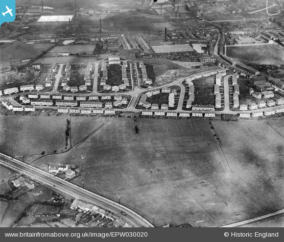
EPW030020 ENGLAND (1929). The Stoops Estate, Cherryfold Sports Ground and environs, Burnley, 1929
© Copyright OpenStreetMap contributors and licensed by the OpenStreetMap Foundation. 2026. Cartography is licensed as CC BY-SA.
Nearby Images (5)
EPW030020

EPW030019

EPW030022

EPW030018

EPW030021

Details
| Title | [EPW030020] The Stoops Estate, Cherryfold Sports Ground and environs, Burnley, 1929 |
| Reference | EPW030020 |
| Date | October-1929 |
| Link | |
| Place name | BURNLEY |
| Parish | |
| District | |
| Country | ENGLAND |
| Easting / Northing | 382344, 431722 |
| Longitude / Latitude | -2.2679772311243, 53.781309598678 |
| National Grid Reference | SD823317 |
Pins
Be the first to add a comment to this image!