
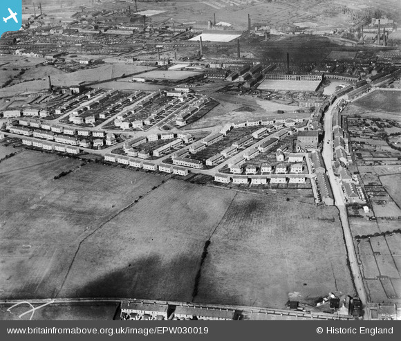
EPW030019 ENGLAND (1929). The Stoops Estate, Cherryfold Sports Ground and environs, Burnley, 1929
© Copyright OpenStreetMap contributors and licensed by the OpenStreetMap Foundation. 2026. Cartography is licensed as CC BY-SA.
Nearby Images (4)
EPW030019

EPW030021

EPW030020

EPW030022

Details
| Title | [EPW030019] The Stoops Estate, Cherryfold Sports Ground and environs, Burnley, 1929 |
| Reference | EPW030019 |
| Date | October-1929 |
| Link | |
| Place name | BURNLEY |
| Parish | |
| District | |
| Country | ENGLAND |
| Easting / Northing | 382451, 431757 |
| Longitude / Latitude | -2.2663552303829, 53.781627829873 |
| National Grid Reference | SD825318 |
Pins
Be the first to add a comment to this image!