
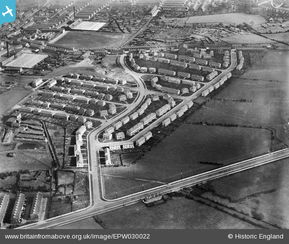
EPW030022 ENGLAND (1929). The Stoops Estate, Burnley, 1929
© Copyright OpenStreetMap contributors and licensed by the OpenStreetMap Foundation. 2026. Cartography is licensed as CC BY-SA.
Nearby Images (4)
EPW030022

EPW030018

EPW030020

EPW030019

Details
| Title | [EPW030022] The Stoops Estate, Burnley, 1929 |
| Reference | EPW030022 |
| Date | October-1929 |
| Link | |
| Place name | BURNLEY |
| Parish | |
| District | |
| Country | ENGLAND |
| Easting / Northing | 382238, 431777 |
| Longitude / Latitude | -2.2695892151393, 53.781800384135 |
| National Grid Reference | SD822318 |
Pins
Be the first to add a comment to this image!