
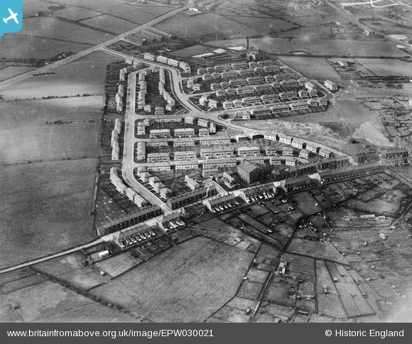
EPW030021 ENGLAND (1929). The Stoops Estate, Burnley, 1929
© Copyright OpenStreetMap contributors and licensed by the OpenStreetMap Foundation. 2026. Cartography is licensed as CC BY-SA.
Nearby Images (3)
EPW030021

EPW030019

EPW030020

Details
| Title | [EPW030021] The Stoops Estate, Burnley, 1929 |
| Reference | EPW030021 |
| Date | October-1929 |
| Link | |
| Place name | BURNLEY |
| Parish | |
| District | |
| Country | ENGLAND |
| Easting / Northing | 382498, 431807 |
| Longitude / Latitude | -2.2656447208055, 53.782078859304 |
| National Grid Reference | SD825318 |
Pins
Be the first to add a comment to this image!