
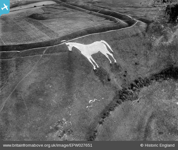
EPW027651 ENGLAND (1929). The Westbury White Horse and Bratton Camp Iron Age hillfort, Bratton, 1929
© Copyright OpenStreetMap contributors and licensed by the OpenStreetMap Foundation. 2026. Cartography is licensed as CC BY-SA.
Nearby Images (6)
EPW027651

EPW050476

EPW027653

EAW015766

EAW002270

EAW002269

Details
| Title | [EPW027651] The Westbury White Horse and Bratton Camp Iron Age hillfort, Bratton, 1929 |
| Reference | EPW027651 |
| Date | 21-June-1929 |
| Link | |
| Place name | BRATTON |
| Parish | BRATTON |
| District | |
| Country | ENGLAND |
| Easting / Northing | 389819, 151627 |
| Longitude / Latitude | -2.1459324634502, 51.263198879821 |
| National Grid Reference | ST898516 |
Pins

Class31 |
Saturday 20th of October 2012 09:23:49 PM |